


On the Footsteps of the Emperor
Difficulty Difficult
Duration 04h
Elevation 470 D +
Distance 11,5 km
Yellow and white markings Circuit n ° 34
- Departure 42155 Villemontais
- LOOP
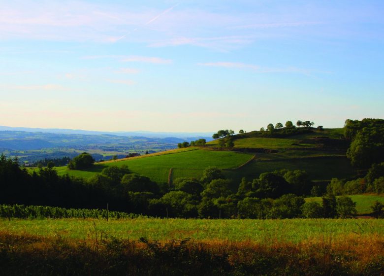
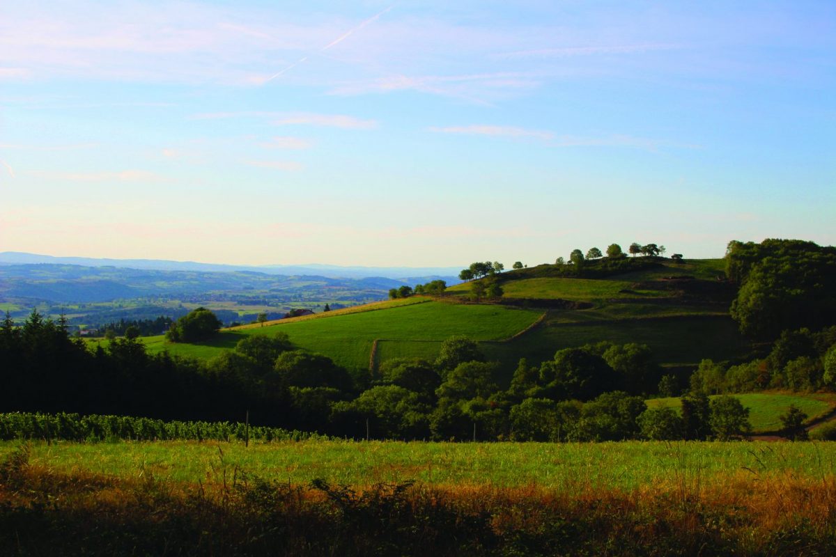
Villemontais - which bears its name aptly - is known for its sloping hillsides and its pretty views ... From the old Chérier, you will appreciate an exceptional panorama over the plain. On the leisure side, it is a famous "spot" for paragliders!
Itinerary to find in the topographical guide:
Topoguide hikes and discoveries in the Roannais
Your itinerary
1 - Departure
From the town hall of Villemontais. Go down the village to the main crossroads, take the D53 on the left then the first road on the right towards the cemetery.
2 - Step 1
Go down to the left under the cemetery towards the crossroads of the Côte.
3 - Step 2
When you reach the cross, take a grassy path slightly higher up between meadows and vineyards in the direction of Mayençat. Cut a road and take the path opposite. Go up the road to the left which leads to Vernet.
4 - Step 3
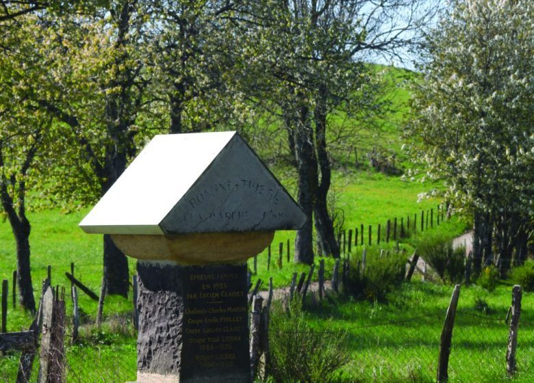
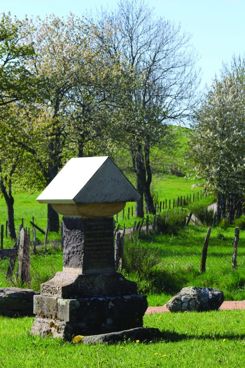
Take the path that overlooks the vines then climb to the Croix des Lièvres.
5 - Step 4
At the Croix des Lièvres, continue straight ahead then climb a path to the left. Go deeper into the woods. Higher up, turn left to go up towards Vieux Chérier. Admire the view over the Roanne plain from the runway for paragliders.
6 - Step 5
At the cross, find the road. Turn left then left again at a large crossroads with a cross. At a second cross, stay to the right, then after 150 m follow a small path to the right. Towards the cabins, turn left onto a path.
7 - Step 6
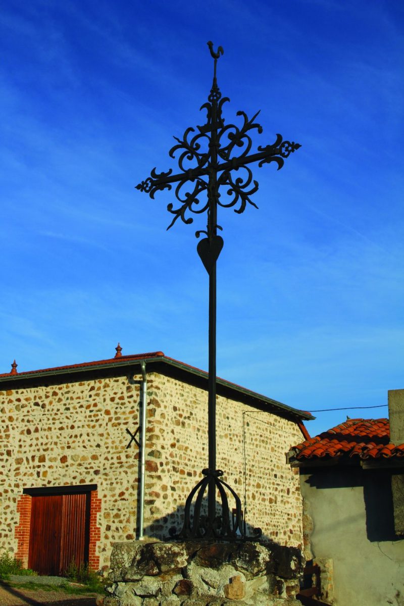
At the Rippouroux reservoir, turn right. Before the house, turn left and go down into the valley. Go up slightly and arrive at the Barret cross. At the crossroads, go up the wide path to the right for 500 m (Chemin Napoléon)
8 - Step 7
Take a path on the left in the undergrowth. Go down towards Loresse. Take the road for a few meters and turn left. Continue on the path to reach the D53. Cross and descend into the village and your starting point.
