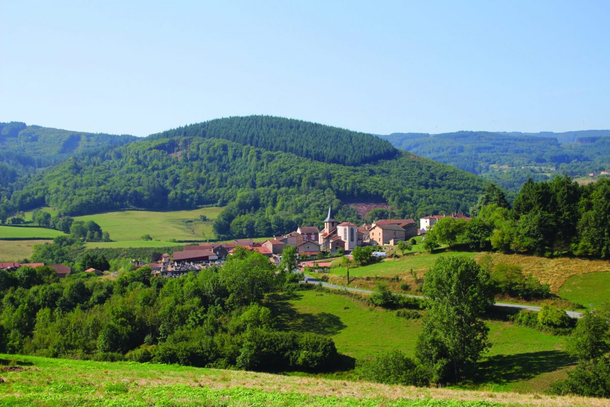
A circuit that offers splendid views of the countryside and the heights around St-Bonnet-des-Quarts.

Itinerary to find in the topographical guide:
Topoguide hikes and discoveries in the Roannais

Your itinerary

Map List

1 - Departure

Take the road between the church and the café, direction Montmeugne. Go up to the virgin then continue straight ahead and after a second cross, always straight ahead.

2 - Step 1

On a wide track, go down to the left and join the D52. Take this road to the right for 500 m then turn left at the 2nd road. After the hamlet of Chez Marmin, walk along the pond, go up the path and continue through the woods.

3 - Step 2

At the edge of the clearing, turn left and go straight up to join a small road. Turn left and pass in front of a few houses. Turn right on the first road. Pass in front of a house and continue straight on the path.

4 - Step 3

Find the D35 and descend it, leaving a wide track on the right. In the bend, descend through the woods to the hamlet of Saule.

5 - Step 4

At the exit, turn right then immediately left. Pass in front of the houses of Chez Belin and join the D41. Turn right and cross the bridge.

6 - Step 5

Turn left onto the first grassy path. Continue down to the crossroads. Turn left on the bridge and immediately right towards the village of St-Bonnet-des-Quarts. Take the D41 back to your starting point.