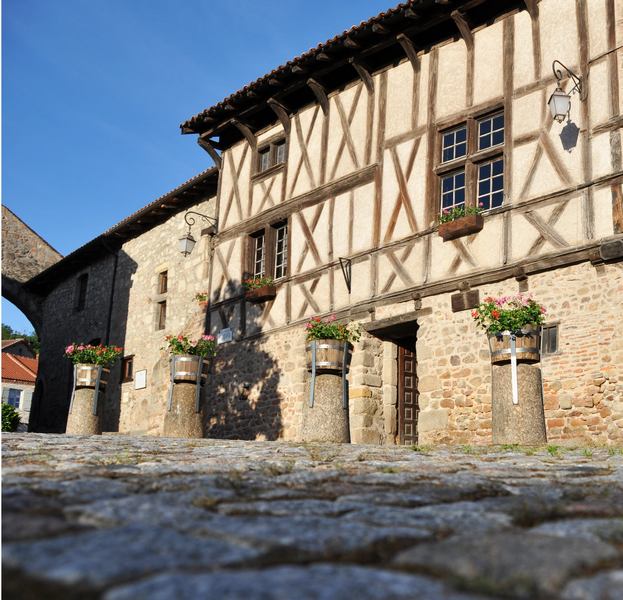
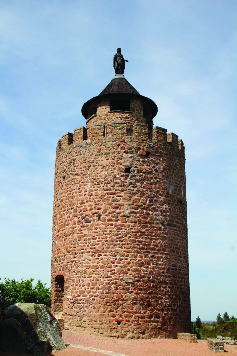
Between ponds, Charolais breeding meadows and rolling countryside, a varied circuit to savor the many attractions of Roannais.

Itinerary to find in the topographical guide:
Topoguide hikes and discoveries in the Roannais

Your itinerary

Map List

1 - Departure

Cross the D35, descend a few meters and in front of the large door, go up to the right in the direction of Rebruns. At the first intersection, go straight down.

2 - Step 1

Take the first dirt road to the right. Find the road and continue to the right. At the crossroads, continue opposite, then 200 m, right on this road.

3 - Step 2

At the Bertholand cross, take the path on the left. Pass the pylon and continue straight ahead until the hamlet of Rebruns.

4 - Step 3

At the first houses, turn left. Go down through the woods on the same path. At the bottom, follow the railway line and join La Tannerie. Cross the level crossing on the left. Continue on this road and cross the old N7. Take the path opposite, pass under the N7 bridge and join the Arçon lake.

5 - Step 4

Take the first path on the left and follow the N7. Turn left over the road bridge towards Les Sablons. Take the first path on the right which bypasses the hamlet.

6 - Step 5

Continue to the right on the road. Stay the course and take a wide path. Find the road and turn right to follow the N7.
At the crossroads, turn left and join La Pacaudière along the campsite.

7 - Step 6

Reach the Place du Petit Louvre and then turn left towards Tourzy. Pass in front of the old wash house then near the Tourzy chapel. Walk along the cemetery and turn right to join La Frairie on a dirt track.

8 - Step 7

At the level of the esplanade, continue and walk alongside the houses. Pass to the left of the cross and go up to join the D35. Pass under the railway bridge then join the village by a steep slope on the right.