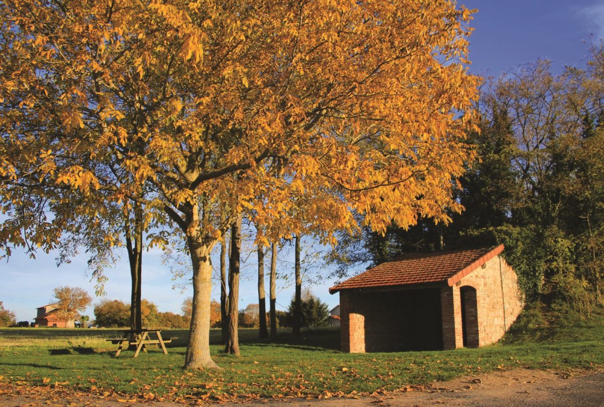
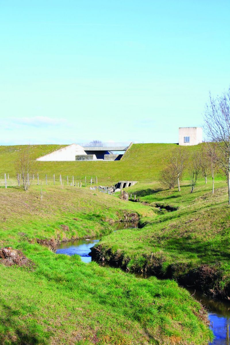
Discover the Roanne plain - watered by the Fillerin and Oudan streams - and the village of St-Romain-la Motte.

Itinerary to find in the topographical guide:
Topoguide hikes and discoveries in the Roannais

Your itinerary

Map List

1 - Departure

Go to the right of the Post Office and turn left into Chemin du Moulin. Continue this small road.

2 - Step 1

Shortly before the N7, turn right into Chemin des Gouttes. Join Pigue and turn right onto the road.

3 - Step 2

Follow the road to the left, to reach the D39. Cross and take a small dirt road opposite that winds through the fields.

4 - Step 3

Find a road near the Croix de la Raillère (dated 1826). Go down to the left on the road and turn right after the level crossing. Walk along the railway line and turn right on the bridge at the Oudan dam. Take Chemin Rabotte opposite.

5 - Step 4

At a pond, turn left on Chemin de la Motte and join the road. Turn left on the asphalt then turn right onto Chemin de Fultière.

6 - Step 5

Find the asphalt for a few meters and turn left onto Chemin de Beaune. Cross the railway and the road again and take the Chemin des Chevenottes opposite.

7 - Step 6

At the crossroads, turn right and join the D39. Continue to the right, cross the rails and turn left along the railway line. Continue on the path to the right. Walk along a pond and meadows.

8 - Step 7

Find the road again and turn right at the crossroads. Go up to the lime kiln. Turn left on the Chemin du Four à chaux and reach the village and your starting point.