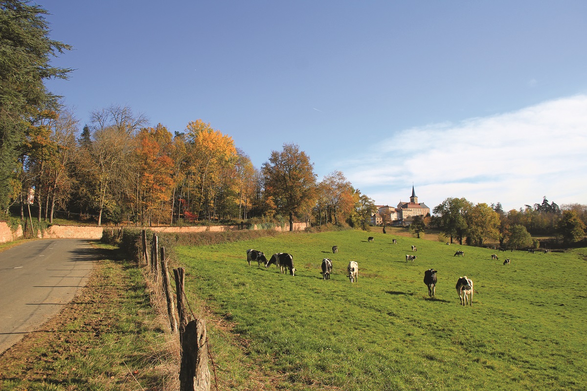
Far from the high peaks, this hilly excursion owes only its name to the surname of the town.

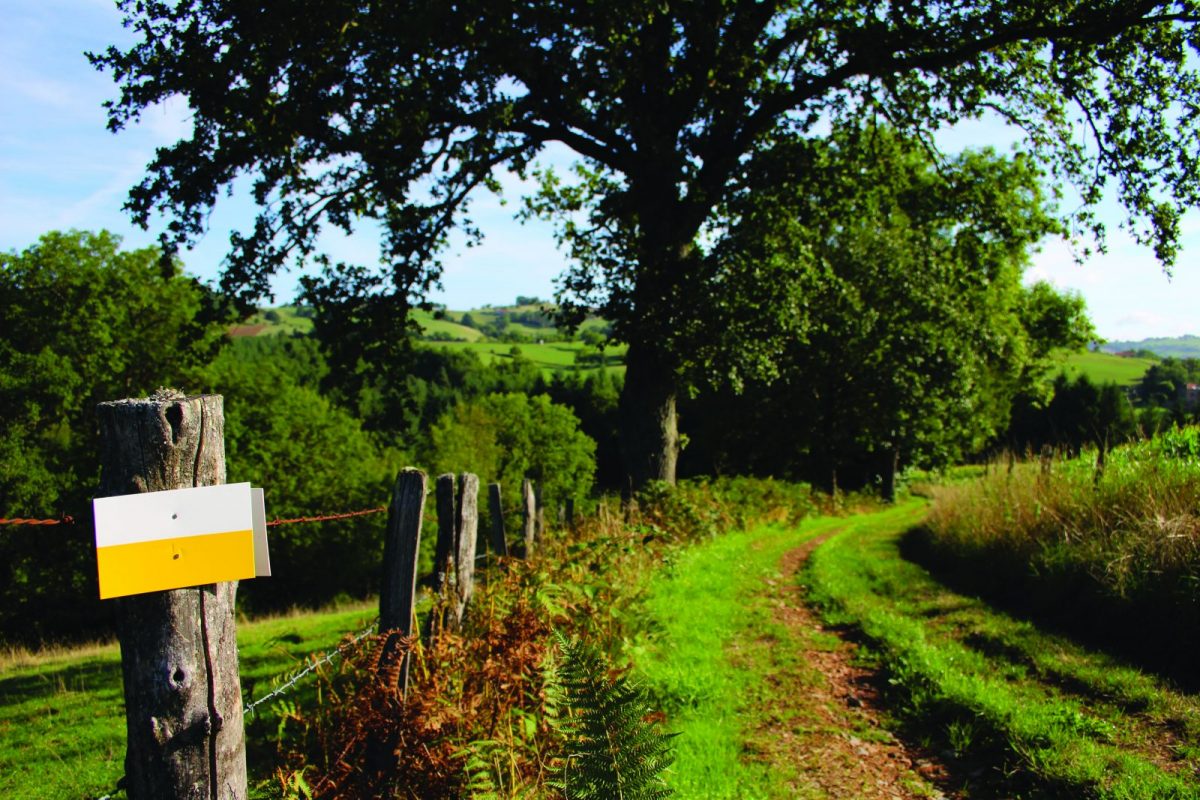
Itinerary to find in the topographical guide:
Topoguide Hiking in the Roannais.

Your itinerary

Map List

1 - Departure

From the town hall, go up in front of the church then take rue Barthélémy Thimonier. Continue on the D504 then the D49 towards Coutouvre.

2 - Step 1

After school, take a small road on the right towards Roche Thévenard.

3 - Step 2

Further on, cross the D45 and continue on the road. Before the Vieilles Cours, turn left onto the path and cross the D45.

4 - Step 3

After 300m on the asphalt, take a path below and join the Trambouzan via Chez Crétin.

5 - Step 4

Cross the stream, go up to the right and exit the wood. Higher up, turn left and go deeper into the woods to find and cross the Trambouzan.

6 - Step 5

Turn right into the meadow. Pass the barriers then walk along the river. Cross the stream again to climb to the Pertuis.

7 - Step 6

At the crossroads, turn left, pass in front of a farm. Go down to Trambouzan. Walk along the shore then go up to La Chaveronderie.

8 - Step 7

After the house, take the path on the left which takes you to cross (one last time) the river. Go up and turn right into the woods to reach Chez Cordonnier. Take the road again, after the farm building, turn right towards d'Armont. Walk along a field to the chapel.

9 - Step 8

Take the road to the left, cross the D49 then enter a meadow. Cut a road at a place called La Route. Cross a stream, always in the same direction.

10 - Step 9

Find homes and continue on the tar. Cross the D504, then go up towards the village. Go around the church on the right to reach your starting point.