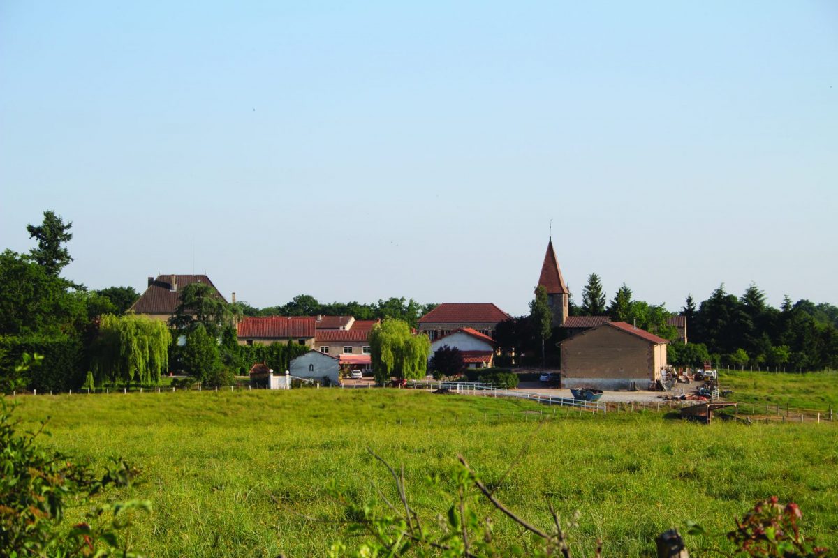
A hilly circuit, in a laughing countryside where cultures succeed one another
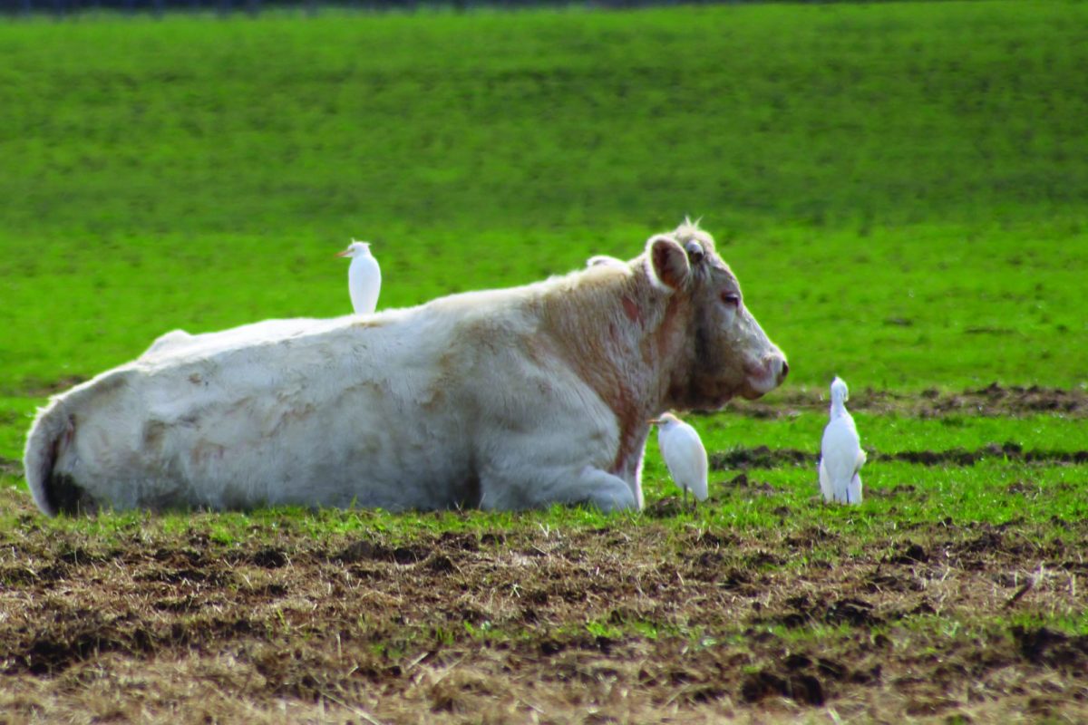
fodder, ponds and Charolais breeding meadows.

Itinerary to find in the topographical guide:
Topoguide walks and discoveries in the Roannais

Your itinerary

Map List

1 - Departure

Head towards the church then turn left towards the wastewater treatment plant. At the bottom of the descent, in the bend, take the path on the left. The church of Vivans, dedicated to Saint Etienne, has a magnificent XNUMXth century paneled nave. It was the possession of the Abbey of Cluny and depended on the diocese of Clermont.

2 - Step 1

At the crossroads, continue straight. At the farm, still straight ahead, cross a bridge then go up to the left.

3 - Step 2

Turn right. After the hamlet of Racodons, take the first path on the right. Pass two paths on the right and turn left to join a road. Turn right at the crossroads and continue straight.

4 - Step 3

Cross the D35 and take the grassy path opposite which joins the D41. Follow the road to the right. Witnesses of human occupation of places at different periods of history have been discovered in several places along this route: flint cut at Chante-Midi, Gallic coins at Racodons, remains of a XNUMXth century fortified house in Bouletière.

5 - Step 4

At the crossroads, continue for a few meters then turn right towards Tupinet. After the houses, continue on the path to join the D35. 5. Turn left and, just after the bridge, left again. Stay on course until the D18.

6 - Step 5

Turn left and, just after the bridge, left again. Stay on course until the D18.

7 - Step 6

Turn right onto the D18 to reach the village of Vivans and your starting point.