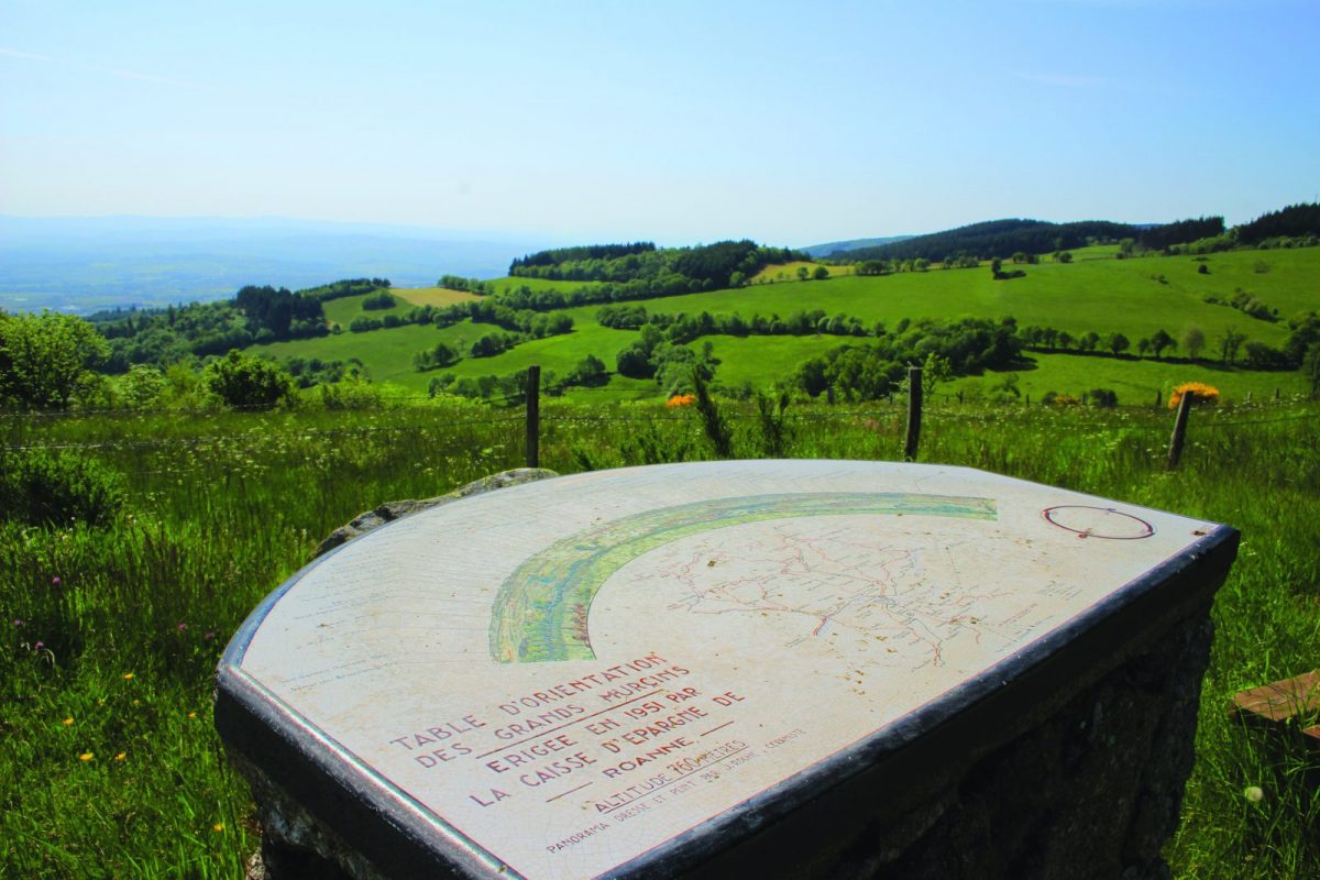
On the heights, not far from the village of Arcon, the Grands Murcins site offers visitors its Arboretum and its educational chalet.

Itinerary to find in the topographical guide:
Topoguide hikes and discoveries in the Roannais

Your itinerary

Map List

1 - Departure

Take the rue de la Mairie (rue Albert Lauriac). At the next crossroads, continue straight on. After 400 m, take a path that climbs to the right and crosses the vineyard. At the Croix des Salles, pass on the right.

2 - Step 1

After the vines, climb steeply to the right between the houses to reach the D51. Cross and take the road to Villards which goes opposite. Keep heading then, near a small mansion, climb sharply to the right. Pass near a farm.

3 - Step 2

Come out on a road and fork to go up to the left. After 500 m, the trail leaves the asphalt straight ahead. Go up for more than 1 km.

4 - Step 3

At the crossroads, turn right towards the hamlet of Petits Murcins. Go up the road to the left then to the right to reach the Grands Murcins. Pass in front of the games then take the path between the chalet and the house. After the arboretum, turn slightly left.

5 - Step 4

At the fork, head right then descend to the right for nearly 2 km.

6 - Step 5

Exit the woods and at the crossroads of the Picard resting place, continue straight. Under the tree alone, at the Montolivet crossroads, turn left. At the next crossroads, go down to the right.

7 - Step 6

At the Rases crossroads, turn right onto the road that runs alongside the vineyards. At the fork, go up the path to the right. Pass over a few houses to reach the Bouthéran vineyards.

8 - Step 7

Once again on the asphalt, go down to the right, pass in front of the camper van area and turn left towards the church. Go down the rue de l'Eglise then turn right into the shopping street (rue JB Chambonnière). At the end of the street, go down to the left towards the town hall square