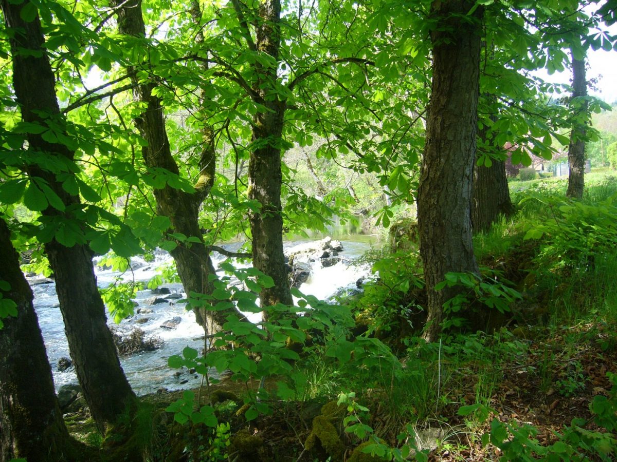
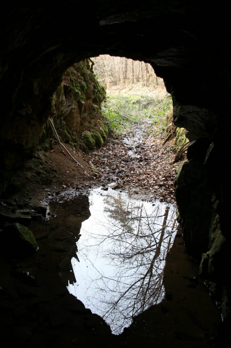
Take a stroll back in time in search of ancient lead mines. The entrances to the galleries are still visible.

Your itinerary

Map List
Download
Download kml

1 - Departure

From the fire station, turn right and go up to the water tower (Madonna and Sauveté belvedere with orientation table). Turn left towards La Madone, then descend below the orientation table and reach La Sauveté.

2 - Step 1

Go around the house of the Knights of Malta on the right, down the road to the left and continue through the hamlet. Turn right then left and follow the D20 to the left for 200 meters.

3 - Step 2

Take the path on the right. He descends and reaches a crossroads. Turn left to walk along the pond and reach Saint Pulgent.

4 - Step 3

Go down on the right by the forest path. Cross the D26 (be careful, reduced visibility) and descend the path opposite to cross the stream. Continue along the main path which rises in the woods before reaching a ledge and a fork.

5 - Step 4

Continue by the main forest path on the right (decorated with signs identifying the essences and plant species in the region) for 400 meters. Continue along the forest path and arrive at Corent.

6 - Step 5

In the hamlet, take the small road on the right for 1 kilometer and, at the intersection marked by the granite cross, continue by the road to the right for 100 meters.

7 - Step 6

In the bend, go down the dirt road opposite, cross the valley, continue to the right and cross the Planchette bridge before going up to the church. Take the street on the right to cross the village and, by the D20 on the right, return to the starting point.