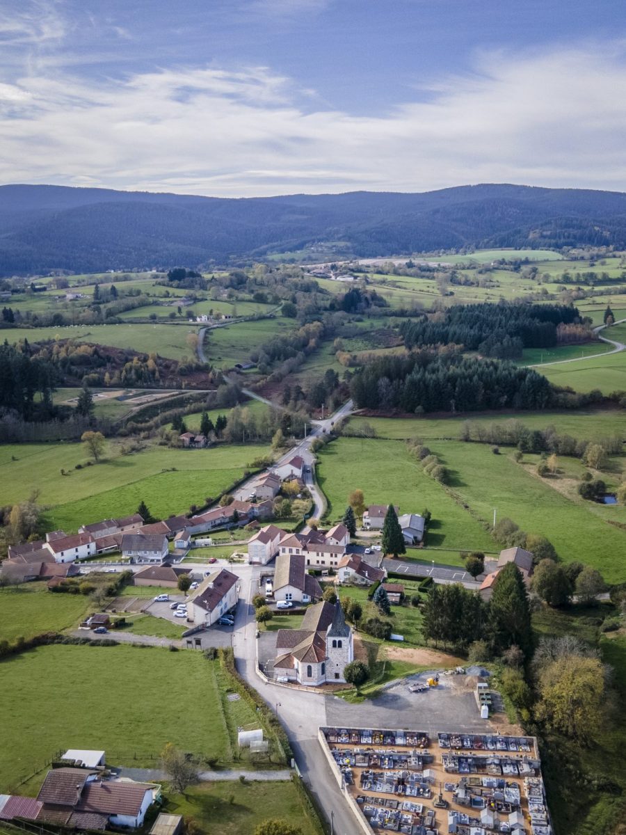
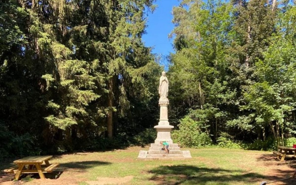
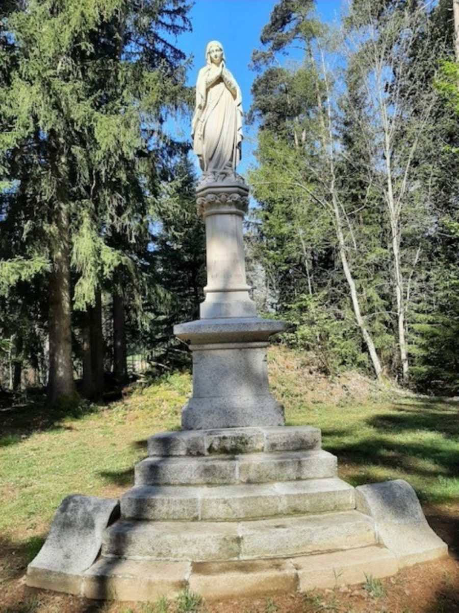
A beautiful hike in the heart of the commune's bocages, with pretty viewpoints and preserved vernacular heritage.

Itinerary to find in the topographical guide:
Circuit 13 of the “Urfé rando” guide, Walks, hikes, trails, etc.

Your itinerary

Map List
Download
Download kml

1 - Departure

Place to the right of the church.

2 - Step 1

Go down alongside the church and take the small street opposite which joins the D495. Follow it for 50 m, crossing the bridge which spans the Boën, then take the road on the left for 150 m.

3 - Step 2

Turn left again and follow the sewage treatment plant on the road which leads to "Barbet". At the entrance to the hamlet take the first path on the right before a building and go up to a house with a roof covered with slate-shaped tiles. we pass above the old station.

4 - Step 3

Follow the asphalt path for a few meters; At the crossroads turn right then left onto a dirt road. Cross a tarmac road, continue opposite and cross the Rennerie stream.

5 - Step 4

Turn left then join the D495, cross it. Follow the path on the left and cross the "Vernois".

6 - Step 5

At the exit, turn right on the gore path, go around the "Fot" farm (or Fau on the IGN map). Walk along the "Bois des Brosses" to arrive at the old mill, cross the small bridge and go up to the cross.

7 - Step 6

Go up towards the "barchenières", leave the path to "Seignolles" on the right and take the dirt road opposite which leads to "la Croix du Trève Feugère" through the Bois des Grandes Bruyères.

8 - Step 7

Cross the tarmac path slightly at an angle to the right, go down for a few meters. Cross a tarmac path again and go down to “Feugère”.

9 - Step 8

At the bottom of the hamlet, take the path which goes down to the “Croix Lachat”. Continue and leave “Rimaud” on the right.

10 - Step 9

Continue right through the “Prés de la Cabane” until the crossroads.

11 - Step 10

Cross the tarmac path and take the dirt path on the left to reach La Tuilière.