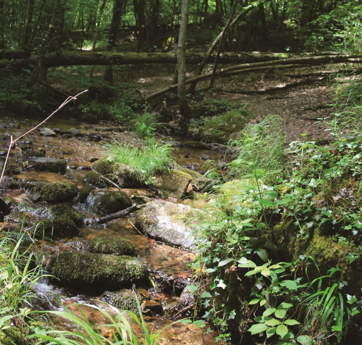
The Desert Gorges are home to a particular ecosystem linked to the presence of water and Mediterranean influences for the south-facing hillside.

Itinerary to find in the topographical guide:
Topoguide walks and discoveries in the Roannais

Your itinerary

Map List

1 - Departure

With your back to the church, go down the road to the right and take the path on the left which joins the mineral water park. Turn right and pass the sources.

2 - Step 1

Pass to the left of the old casino along the river. Higher up, cut the road and take the path in front of the wash house. Continue to the Madonna. Go up the ramp to join the D31.

3 - Step 2

Turn right and follow the road for 250 m. Go down the path to the right alongside the dam. Go up the Montouse following the left bank of the river to the bridge. Cross the Montouse and go up on the right bank. The valley narrows and at the level of the waterfall climb the ramp opposite (to see the waterfall: at the foot of the ramp, follow the river on the right). Further on, cross the river again, continue on your left going up the gorges.

4 - Step 3

Higher up, turn right onto a wide path. The path narrows, then turn right towards Saudet.

5 - Step 4

In the hamlet of Saudet, continue a little to the right and go down.

6 - Step 5

Arrive after 800 meters at the foot of Châtelus (crossroads). At 5 minutes on the right, the Châtelus (581 m), was in the Iron Age a natural defensive position. The view is worth the detour! Continue on the path and descend to reach the village. At the reservoir, turn left for a few meters. Turn right onto a small grassy path and continue descending to your starting point.