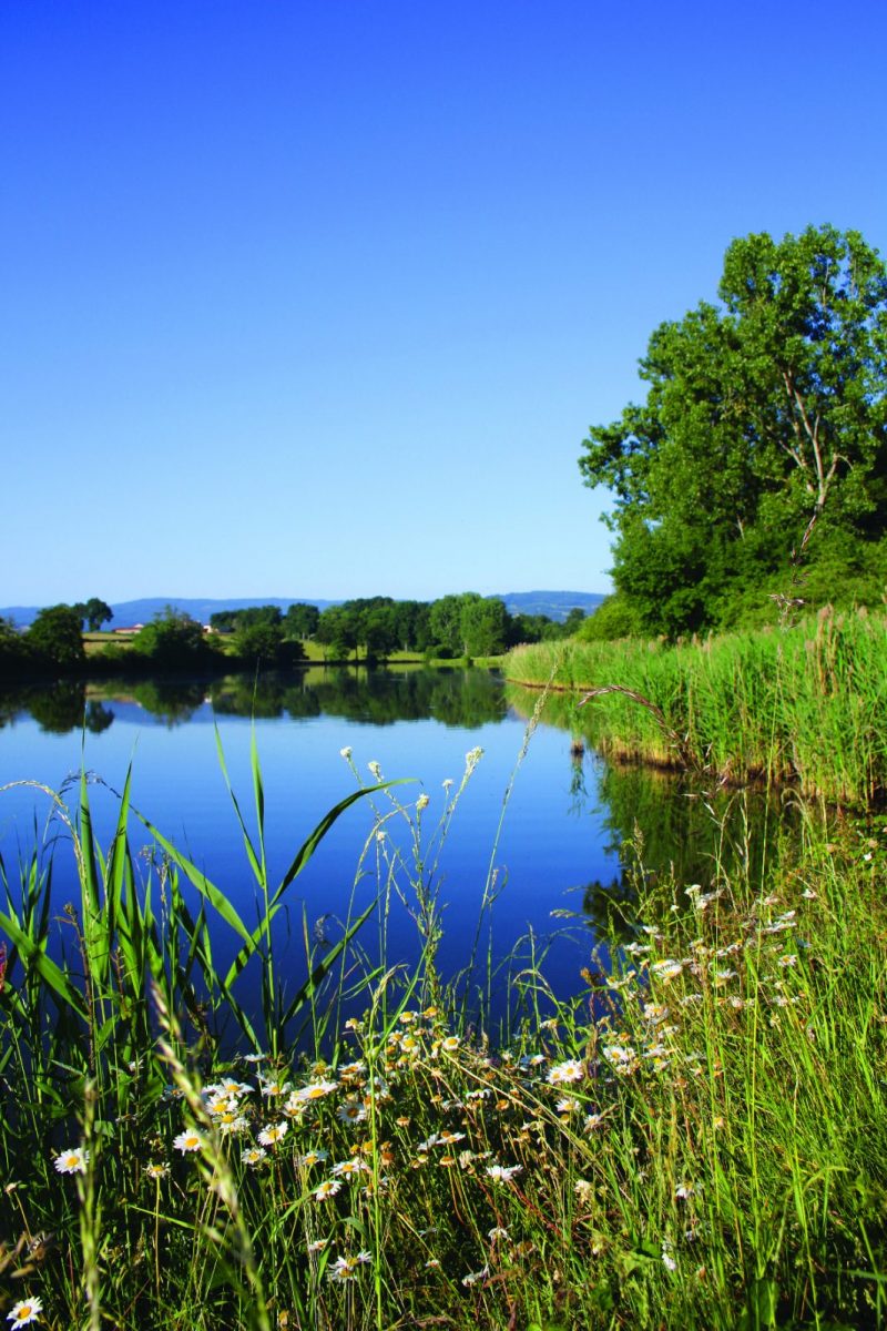
By being a little attentive and discreet, you will certainly meet the hosts who inhabit the ponds.

Itinerary to find in the topographical guide:
Topoguide walks and discoveries in the Roannais

Your itinerary

Map List

1 - Departure

Cross the square in the direction of Roanne and at its end, cross the old N7 (route de Paris) and continue in the same direction.

2 - Step 1

After 200 m, dive to the left on Chemin de Beausoleil. Go behind the campsite. At the crossroads, turn left and stay on course until the D35.

3 - Step 2

Turn right at the top of the path, continue on the D35 and cross the bridge over the N7. Turn right and stay on this road until the Chaussère crossroads.

4 - Step 3

Continue straight on towards the Korea Pond.

5 - Step 4

On the D35, turn right and walk along the Korea Pond. Take the 1st road on the left after the bridge. At the next crossroads (cross), continue to the left to reach the Chez Durier crossroads.

6 - Step 5

Turn left and join the next crossroads after 250 m. Continue to the left towards La Pacaudière between the meadows bordered by hedges, until the crossroads of the Grénelin pond.

7 - Step 6

Continue opposite to join the D8 (again spanning the N7). Turn left, pass in front of the Château de la Salle and join the village and your starting point.

On the course