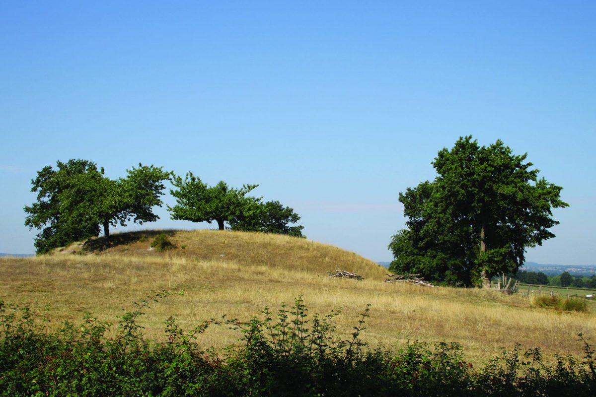
Ponds, rivers and meadows will accompany you during this journey through the characteristic bocage landscapes of the north of the department.

Itinerary to find in the topographical guide:
Topoguide hikes and discoveries in the Roannais

Your itinerary

Map List

1 - Departure

Go up the D8 to the south and at the exit of the village turn right. At the next crossroads, turn right and join the ford over the Urbise.

2 - Step 1

Cross the river then go up to the right. Cross the D52 and take the path opposite. Pass in front of houses. At the end of the path, turn right onto the road.

3 - Step 2

At the crossroads, turn left towards Sail-les-Bains. After having crossed a stream, cross the farm of Chez Garon and join the D46. Turn left, walk alongside the cemetery and continue straight on at the crossroads.

4 - Step 3

Take a right at the first houses. Go down the path then take the road to the left. Enter Sail-les-Bains, continue to the right in the direction of the church. Walk along the church and turn left at the exit of the village.

5 - Step 4

Stay on course to the lawn pond. Take the causeway to the pond. At the crossroads, turn left towards Urbise. Turn right towards Les Mazendats. After the hamlet go down to the left.

6 - Step 5

Turn left on the D8 and continue on the shoulder. Take the fourth path on your right (Le Bois des Souches).

7 - Step 6

Take the road to the left and reach the village of Urbise and your starting point.