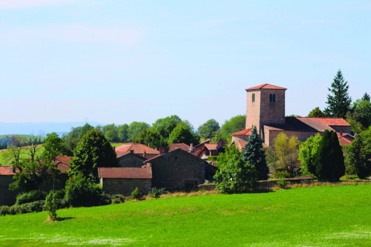
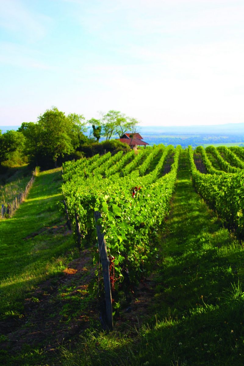
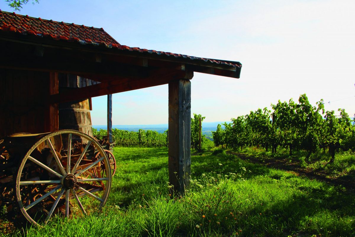
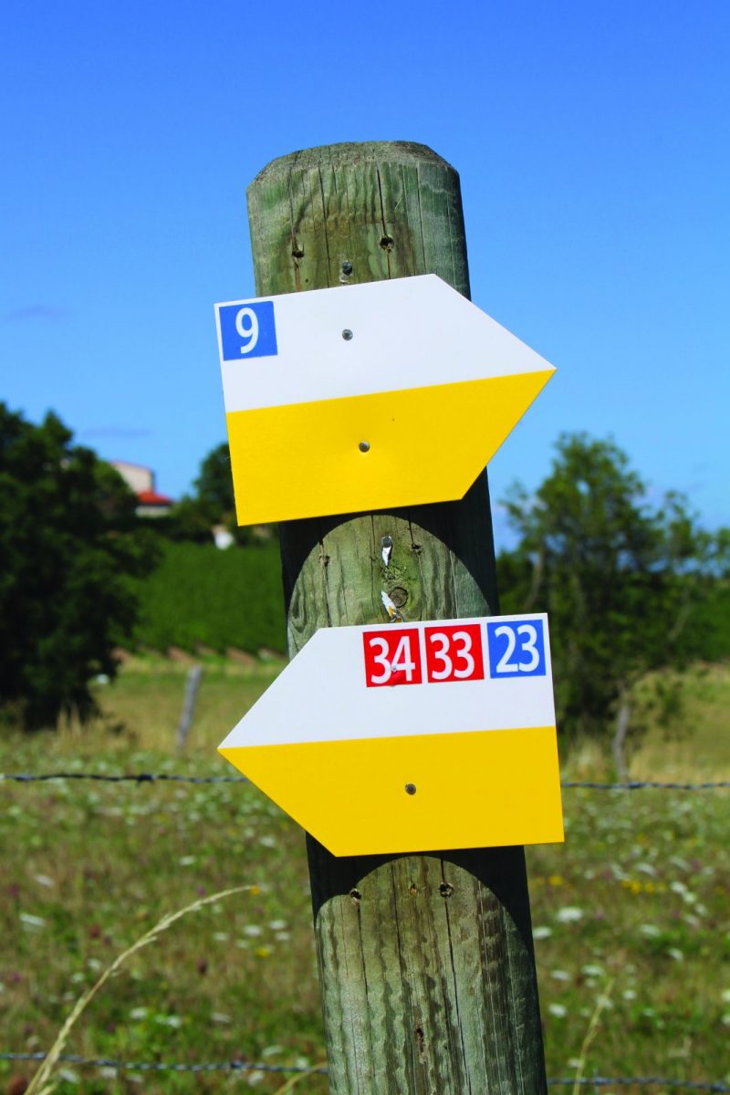
Discover beautiful views over the Roannaise plain (from Villemontais and the Croix des Lièvres). You will cross the vineyards. pass through the village of Vieux Cherrier then through the town of Chérier, you are in the Monts de la Madeleine!

Your itinerary

Map List

1 - Departure

From the town hall of Villemontais. Go down the village to the main crossroads, take the D53 on the left then the first road on the right towards the cemetery.

2 - Step 1

Go down to the left under the cemetery towards the crossroads of the Côte. The Saint Roch chapel is located near the cemetery; it was probably built after the plague epidemic of 1630. It bears on the lintel of the entrance the arms of "La Mure", owners in Villemontais from the XNUMXth century.

3 - Step 2

When you reach the cross, take a grassy path slightly higher up between meadows and vineyards in the direction of Mayençat. Cut a road and take the path opposite. Go up the road to the left which leads to Vernet.

4 - Step 3

Take the path that overlooks the vines then climb to the Croix des Lièvres.

5 - Step 4

At the Croix des Lièvres, continue straight ahead then climb a path to the left. Go deeper into the woods. Higher up, turn left to go up towards Vieux Chérier. Admire the view over the Roanne plain from the runway for paragliders.

6 - Step 5

At the cross, find the road. Turn left then left again at a large crossroads with a cross. At a second cross, stay to the right, then after 150 m follow a small path to the right. Towards the cabins, turn left onto a path.

7 - Step 6

At the Rippouroux reservoir, continue opposite on a narrow path in the woods. Continue downhill until you reach a large crossroads.

8 - Step 7

Take the path to the right towards the hamlet of Bois. Leave the Napoleon path on your right and continue on the road until the D53. Cross it and descend towards the village and your starting point.