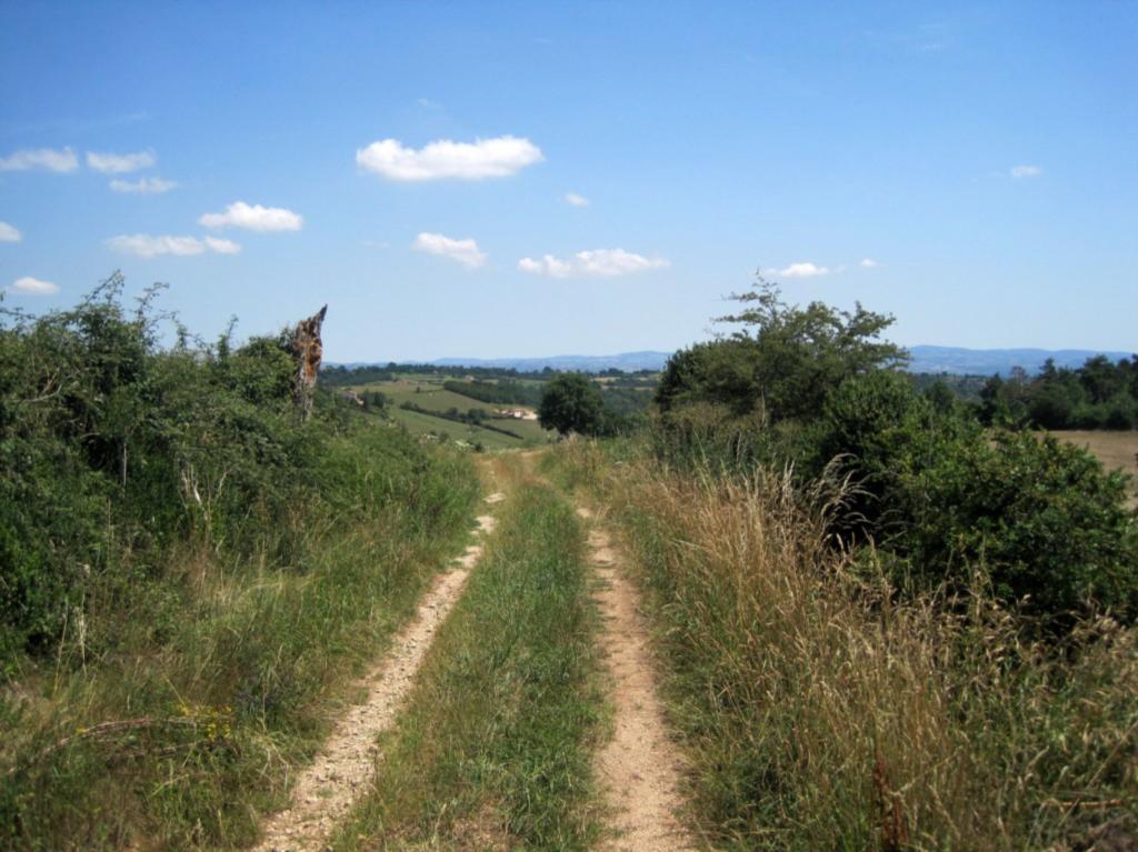
This route plunges into the wild Pasquins ravine, passes through remarkable belvederes before descending to the edge of the Aix in the limpid course.

Itinerary to find in the topographical guide:
Topoguide PR (Ref: P424) "Les Vals d'Aix et Isable ... on foot"

Your itinerary

Map List
Download
Download kml

1 - Departure

From the Place de l'Eglise, take the D1 to the left (south-east) then, at the cross near the bus shelter, the road to the right. At the crossroads marked with another cross, turn right onto the small road which becomes a path and reaches a livestock building.

2 - Step 1

Facing the livestock building, turn left and go down the Pasquins ravine to the Moulin-Neuf.

3 - Step 2

Shortly before the D38, cross the small bridge located behind the bus shelter on the right, then continue along the main road towards the Morut bridge. Cross Aix on the Morut bridge, then follow the D38 on the right for 20 meters and climb on the left the large path which rises in the wood. Once uncovered (viewpoints), continue by the path due west then by the small road to the left and the road to the right. It climbs between meadows and crops to the top of the coast.

4 - Step 3

Turn right onto the beautiful ridge path that leads to Servaux. In the hamlet, at the level of the pond, turn right and go down the path. Cross the D38, take the path opposite and arrive near the Aix. Take the main road to the left and pass near the micro power station.

5 - Step 4

Turn right, cross the wooden bridge that spans the Aix, then continue to the right along the path that rises under the foliage before reaching the plateau. Take the small road on the left to the cross.

6 - Step 5

Turn right. The path then the road to the left leads to Malmaison. At the cross, turn right then, 200 meters later, in Bodinal, turn left. At the crossroads, take the road to the right and find the livestock building. Then by the route used on the outward journey, join the church of Saint-Julien-d'Oddes.