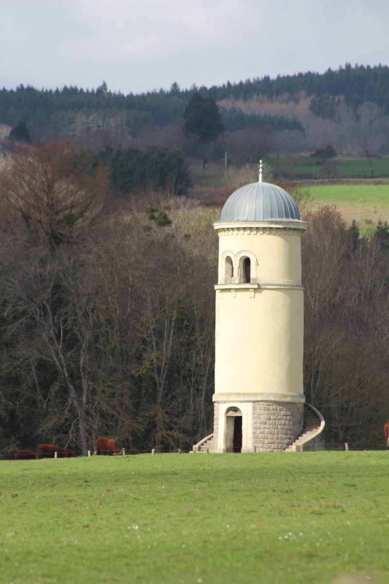
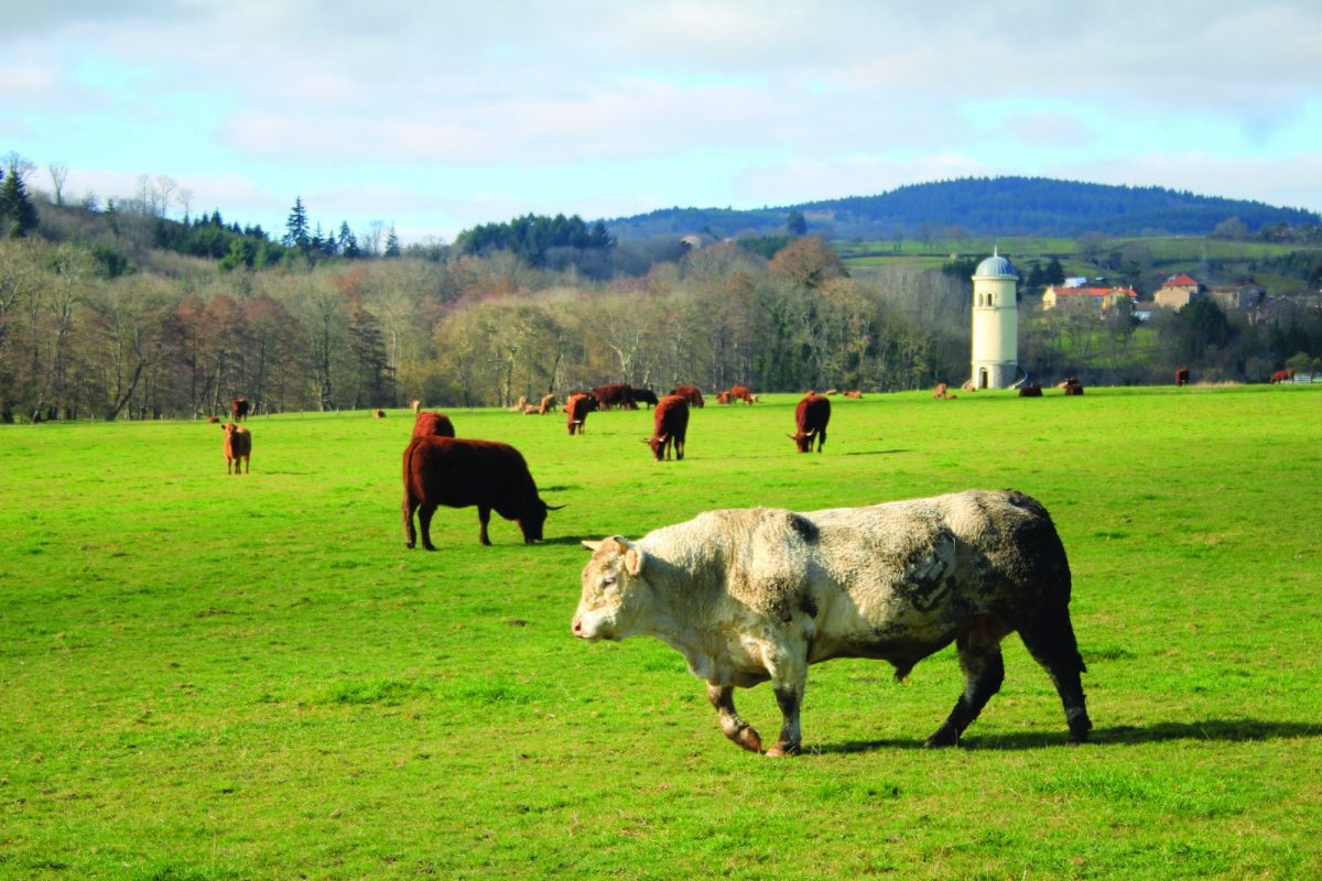
A circuit to discover rivers, waterfalls, vineyards, undergrowth, old mills, and breathtaking views of the Monts de la Madeleine and the Roanne plain.

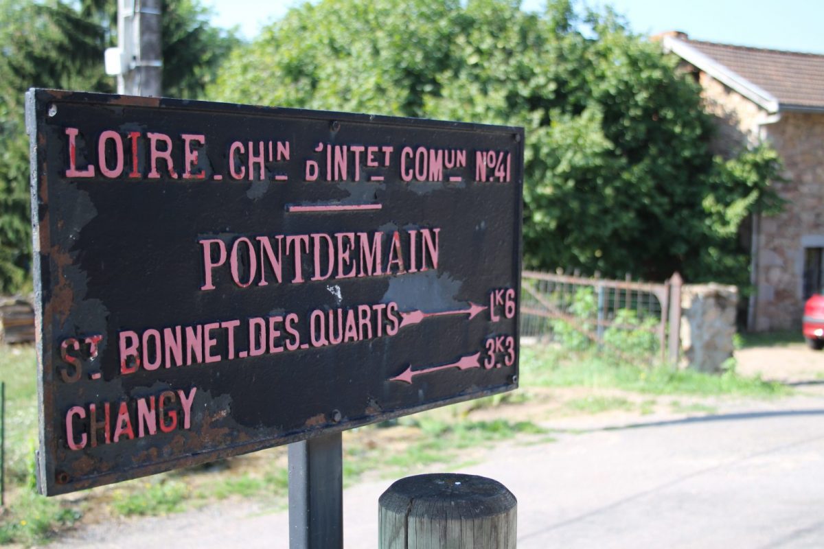
Itinerary to find in the topographical guide:
Hikes and discoveries in the Roannais

Your itinerary

Map List

1 - Departure

Take the D41 towards the village of Changy and reach the place du champ de foire. Turn right and right again. Go along the surrounding wall of the castle and turn left at the crossroads

2 - Step 1

After the bridge, turn left towards La Croix Noailly. Walk along the Berthier mill building and stay on the main path. Continue straight on the path parallel to the railway line. At the level of the vines, fork to the right and go up.

3 - Step 2

Walk past a house. At Mourier turn right onto a path. Higher up, turn left and continue on the path. Further on, pass in front of the old Vernants farm. Gradually descend to Croix Noailly.

4 - Step 3

Turn right onto the D52 then, after 50 m, dive left onto a small path. Cross a road and take opposite. At the old quarry, go up the road to the left then turn right onto the forest path.

5 - Step 4

At the crossroads, turn right towards St-Bonnet-des-Quarts. Cross the Teyssonne and go up. Turn left at the next crossroads and reach the village.

6 - Step 5

Go down to the right on the D41 in the direction of Changy, then in a large bend, take the route du Veillot to the left. At the entrance of the hamlet, cut to the left to find the road. At the top of the hill, turn right and reach a crossroads.

7 - Step 6

Go down to the right in the direction of the Roanne plain. Keep this heading until you reach the D41. Go up this road on the right for 30 m then, turn left on the path that goes down.

8 - Step 7

Find the railway bridge. Cross it again in the direction of Changy and follow the route in the opposite direction to reach your starting point.