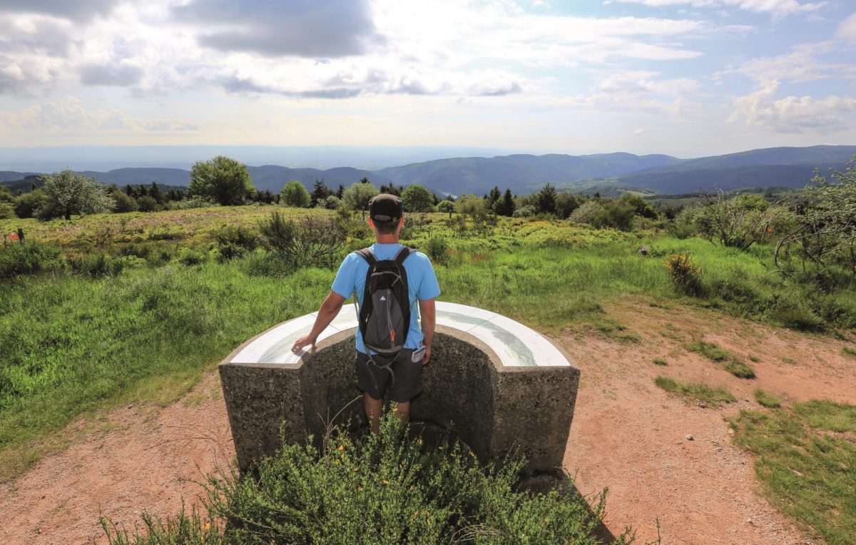
From the village of St-Rirand, nestled at the bottom of its valley, on the plateau de la Verrerie, land of moors beaten by the winds.
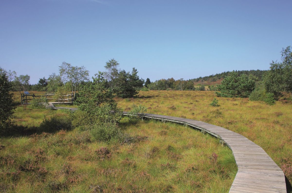
You will discover the richness of the fauna (viviparous lizard, common harrier ..) and flora (sundew, callune ..). Good road !

Itinerary to find in the topographical guide:
Topoguide hikes and discoveries in the Roannais

Your itinerary

Map List

1 - Departure

From the small square above the church, climb up the path. After 1,5 km, reach the first houses of Fouet Bas. Continue to climb on the asphalt.

2 - Step 1

At the crossroads continue to the left on the road, higher up, fork on the left path which goes up to Fouet Haut.

3 - Step 2

Cross the D39 and, opposite, choose left towards the Black River pass. Pass in front of the farm; after 200 m, take the path on the left. Go up along a large meadow. After a wet passage, enter a beautiful deciduous forest. Continue along this wide path, then slip into a small forest path on the left.

4 - Step 3

At the Black River pass, take the D 478 opposite for 200 m. Take the 1st left, then pass the barriers to cross the plateau de la Verrerie. At the crossroads before the summit (view to the right over the Puy de Dôme and to the left over the Mont Blanc), turn left and reach the orientation table.

5 - Step 4

After the geodesic marker, open a barrier and take a path on the left and then on the left again after another barrier. On the right going down, in the thickets, a still visible hole was dug by the explosion of a bomb during the last war. Go down into the woods. In a wide crossroads, take the 2nd on the right. Always descend in the same direction and stay on course at each crossroads.

6 - Step 5

Before the hamlet of Donjon, dive to the left, down the slope to the Ribodine river. Take the road to the left on the bridge to find your starting point