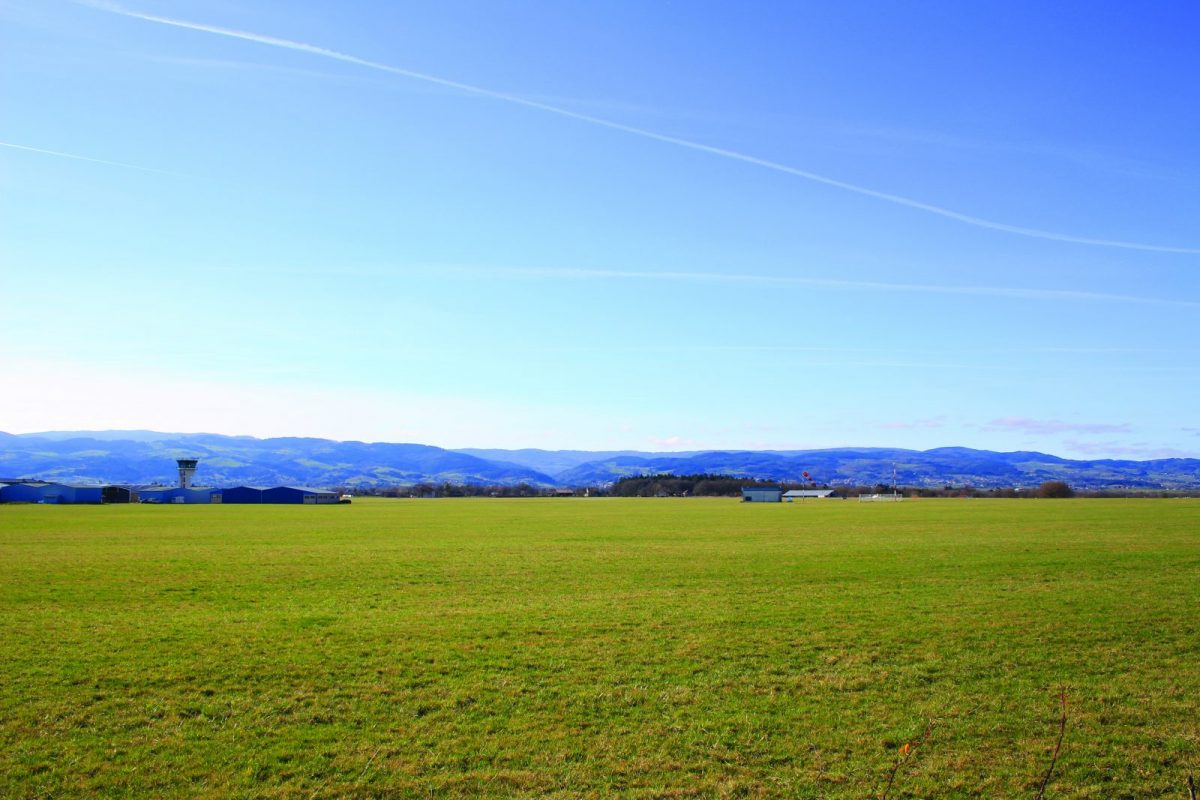
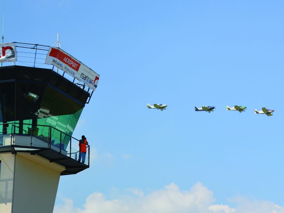
In St-Léger, the sky of the Roanne plain has always been a favorite spot for "marvelous flying fools and their funny machines".

Itinerary to find in the topographical guide:
Topoguide walks and discoveries in the Roannais

Your itinerary

Map List

1 - Departure

Take the rue de l'Eglise (D51), pass a path on the right and, at the crossroads, take the allée du Verdier on the left.

2 - Step 1

Go along the D9 to the right, then cross to take the first road on the left (path to the aerodrome).

3 - Step 2

Fork right at the first intersection.

4 - Step 3

At the crossroads, turn left, cross the airport road. Follow the Hélène Boucher path which runs alongside the aerodrome. Turn right before the Traquelet farm, pass a pond on the right.

5 - Step 4

At the crossroads, continue to the right on rue Jean Baptiste Magnet and continue straight on at the crossroads.

6 - Step 5

Turn right into Chemin de Nobile, walk along a pond and continue until the next crossroads.

7 - Step 6

Take the path in the opposite direction to reach the village of St-Léger-sur-Roanne and your starting point.