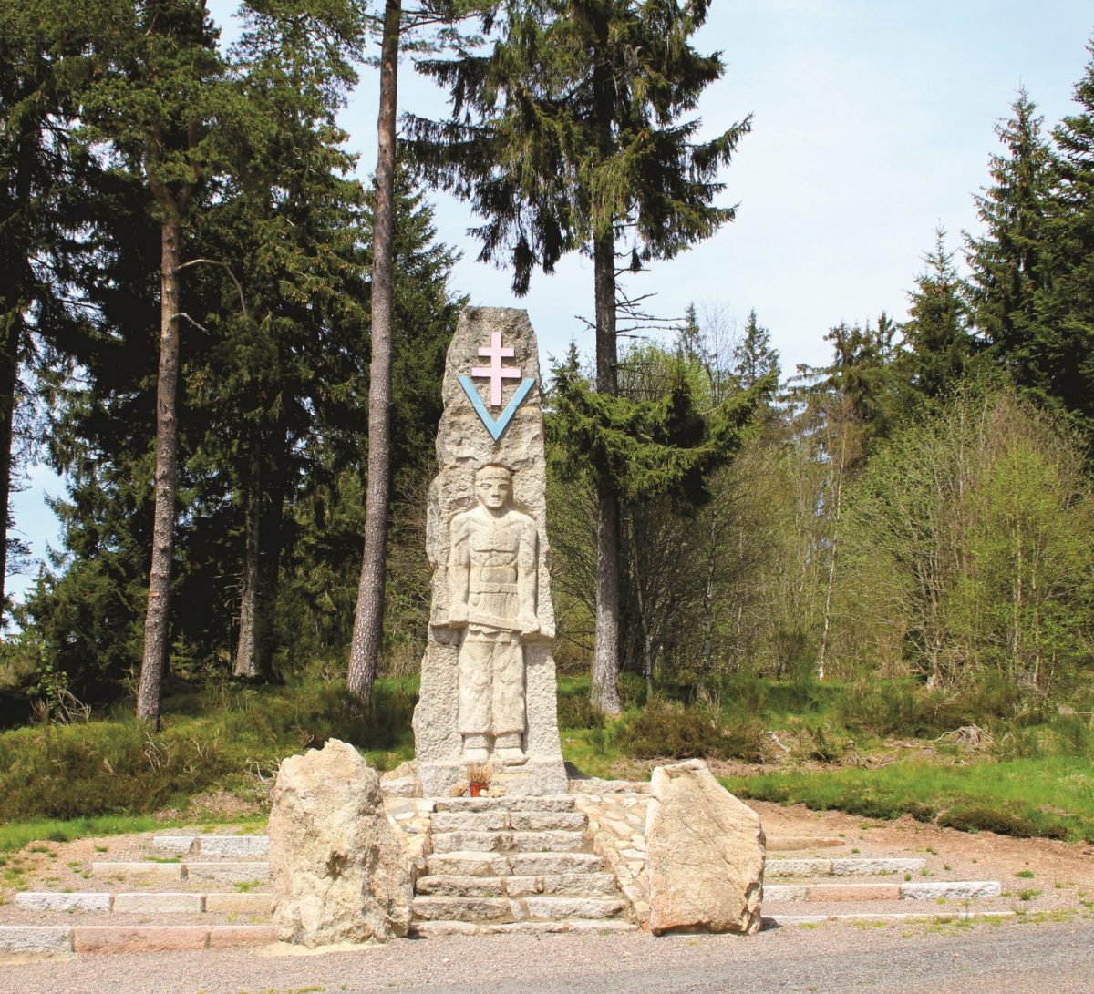
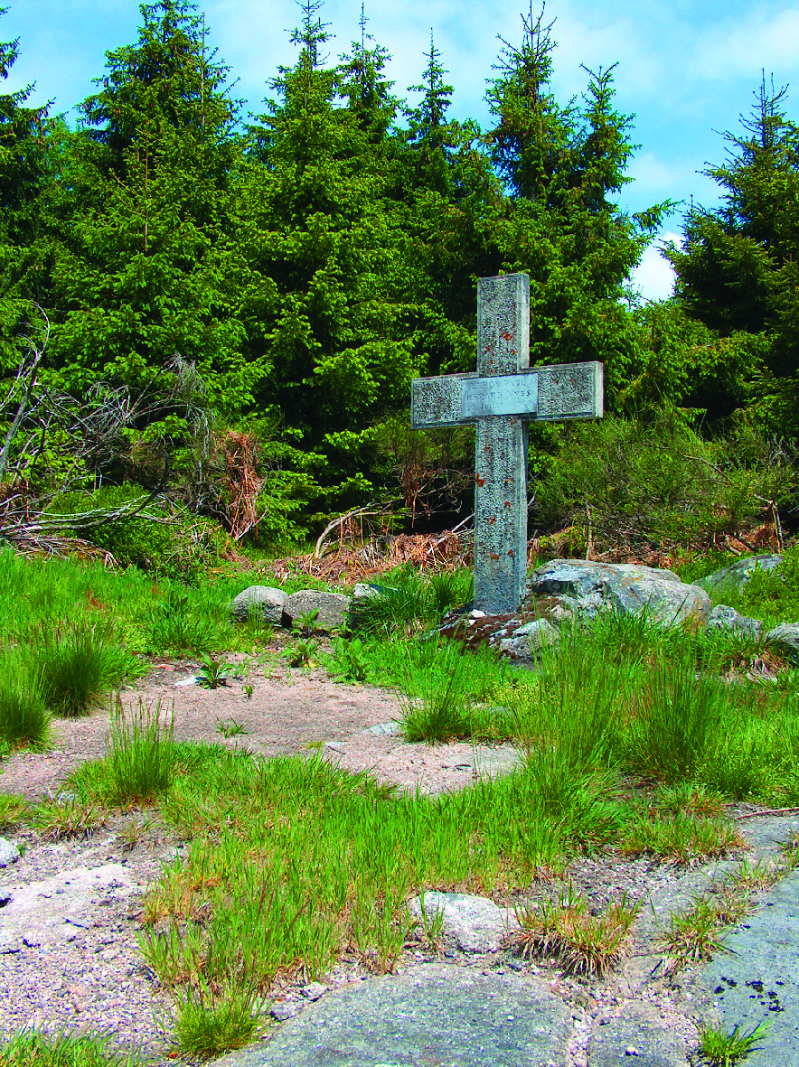
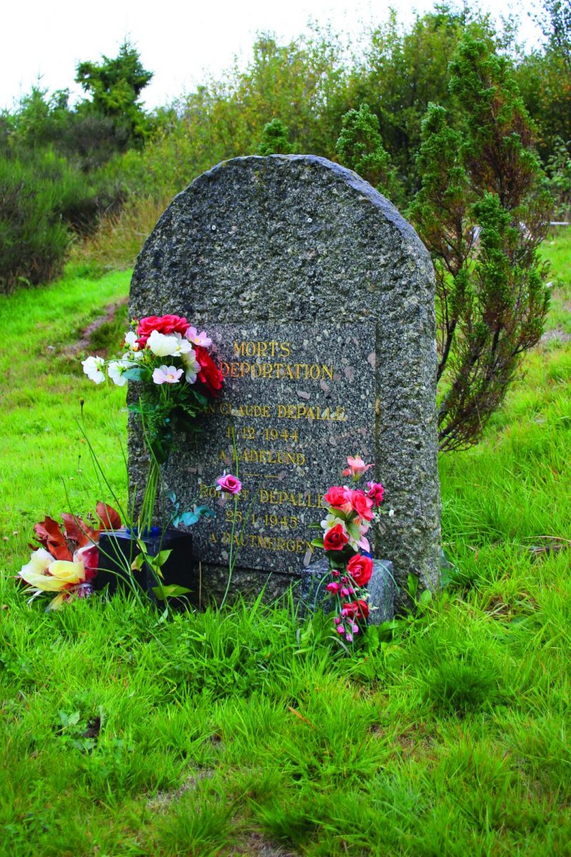
Why the Monts de la Madeleine? The answer in a forest walk in the heart of memory to meet the soul of the country .... A place full of history.

Itinerary to find in the topographical guide:
Topoguide hikes and discoveries in the Roannais

Your itinerary

Map List

1 - Departure

At the monument, head towards the Loge des Gardes crossroads. Go up slightly to the right on a wide forest track. Continue straight on the main track. Pass in front of a concrete cross, keeping to the right to reach a wide crossroads.

2 - Step 1

Keep heading north and continue to climb (passage in front of a second cross). After a ledge, the trail loses altitude.

3 - Step 2

Fork to the left in a small path in the middle of the woods, leaving the wide track. Descend steeply to reach the Grande Borne.

4 - Step 3

At the crossroads take the second path on the right. Follow the wide forest track then descend to the left a small path which plunges down to the meadow and the Creches stream. Cross the stream and continue to the Plan du Grand Jonc crossroads.

5 - Step 4

Turn right towards Gué de la Chaux. Keep the same direction for nearly 700 m.

6 - Step 5

At the level of a meadow, turn right on the flat. At the crossroads, go up to the right. Keep to the path until you come to a wide forest track.

7 - Step 6

Turn right onto the track then quickly left onto a path that rises. After a wet passage, continue to climb. Find a wide track.

8 - Step 7

At the crossroads, turn right and find the D51. Follow the road towards the Gué de la Chaux dam to find the car park and your starting point.