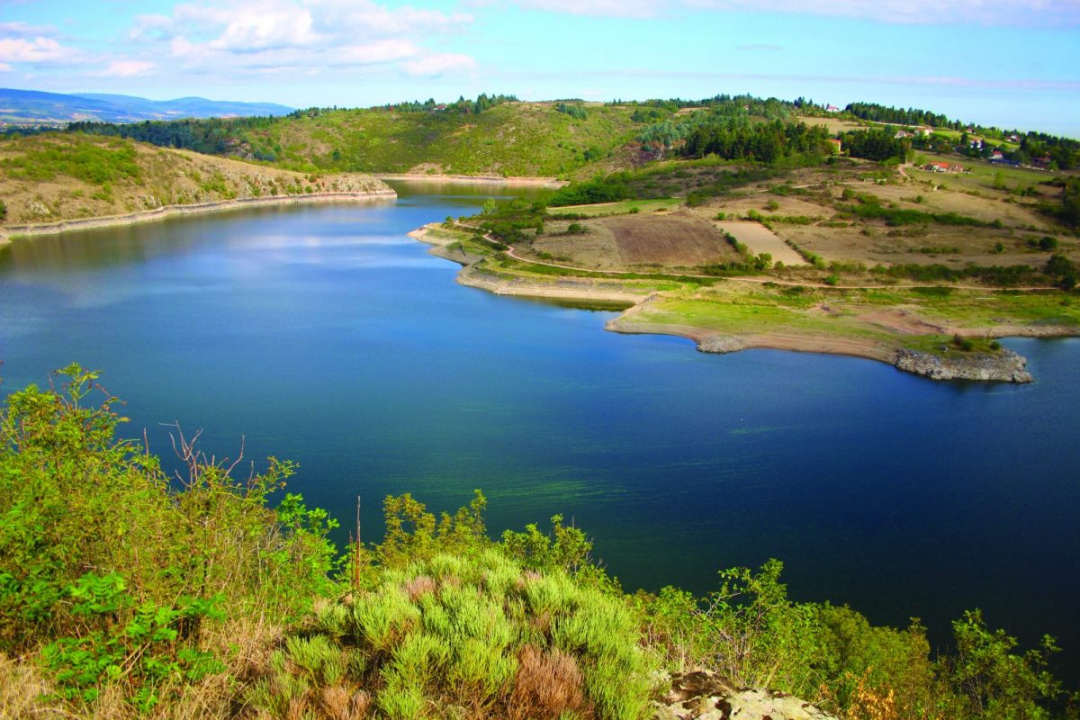
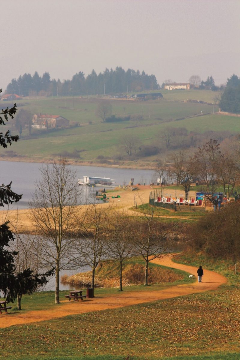
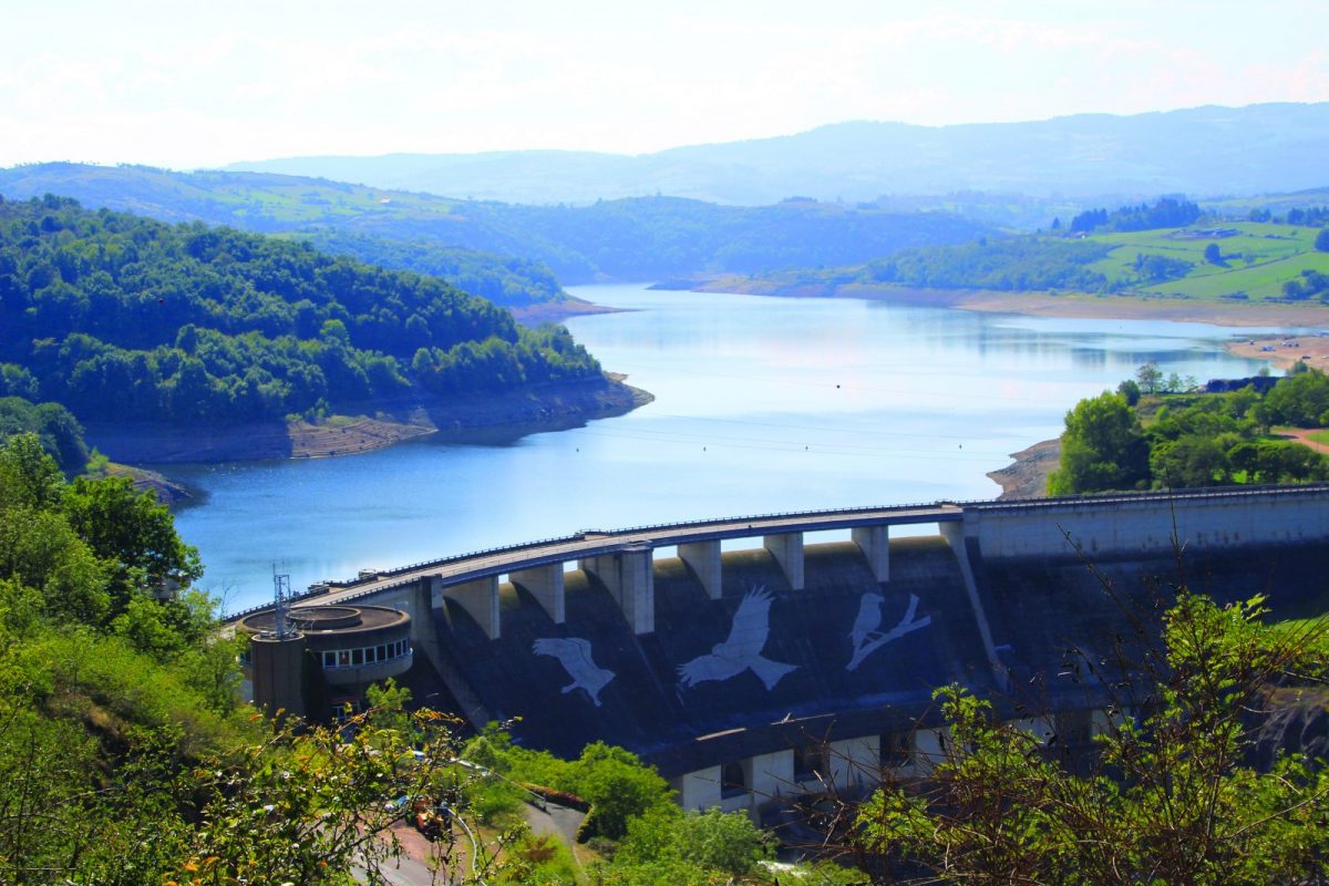
This circuit runs along the banks of the Villerest reservoir as closely as possible. It overlooks the Loire to the heart of the medieval village of Villerest.

Itinerary to find in the topographical guide:
Topoguide Walk in the Roannais.

Your itinerary

Map List

1 - Departure

Join the footpath that runs along the lake upstream of the dam.

2 - Step 1

At the Perron jump, leave the shores of the lake by taking the climb on the right. By continuing, you can discover here and there some elements of the small rural heritage of the region: crosses, wells, farms ...

3 - Step 2

Take the Chemin du Moulin Barbier on the right then the Chemin du Barbier and the Chemin du Perron.

4 - Step 3

Cross the D18, then the roundabout and take the rue Fréchat which will lead you to the village of Villerest (the steeple of the church will give you the direction).

5 - Step 4

Join the place Jules Rabourdin. Leave the square by going down the Grande Rue to the right, until you reach the Place du Gand'Huy. Cross the square and take the rue de Montagny which will take you back down to the dam.

6 - Step 5

At the dam, cross the road, then the car park along the dam and follow the Grézelon footpath along the Loire to reach the beach and your starting point.