Your itinerary
1 - Departure
From the crossroads in front of the town hall, take the D46 towards Montaiguët-en Forez. At the restaurant, turn left into a small street. Go down and cross the river at the washhouse.
2 - Step 1
In Courty, leave the road and continue opposite on a dirt track. At the end of the D52 (cross) turn right, then right again on the road that goes up.
3 - Step 2
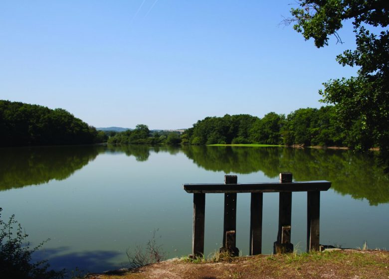
After 2 km, turn left at the crossroads. After the castle, go down to the right to reach the ponds. Go up the hill and stay on course until the D52.
4 - Step 3
Cross and continue on the road opposite. Walk along the Planches pond. At the end of the dike, take the dirt road opposite. Continue to the left on the tarmac to reach the D46.
5 - Step 4
Cross and continue straight ahead for about 2 km.
6 - Step 5
Turn left towards Sail-les-Bains and continue on the main road (about 2 km), until the Chez Cassin crossroads.
7 - Step 6
Turn right and then left. At the next crossroads, turn left onto the path to reach the Pelouse pond.
8 - Step 7
Cross the dike and continue on this road which allows you to reach the village and your starting point.


