Renamed "Jars-la Montagne" during the revolution, St-Martin d'Estreaux is dominated by this rocky promontory culminating at 600 m.
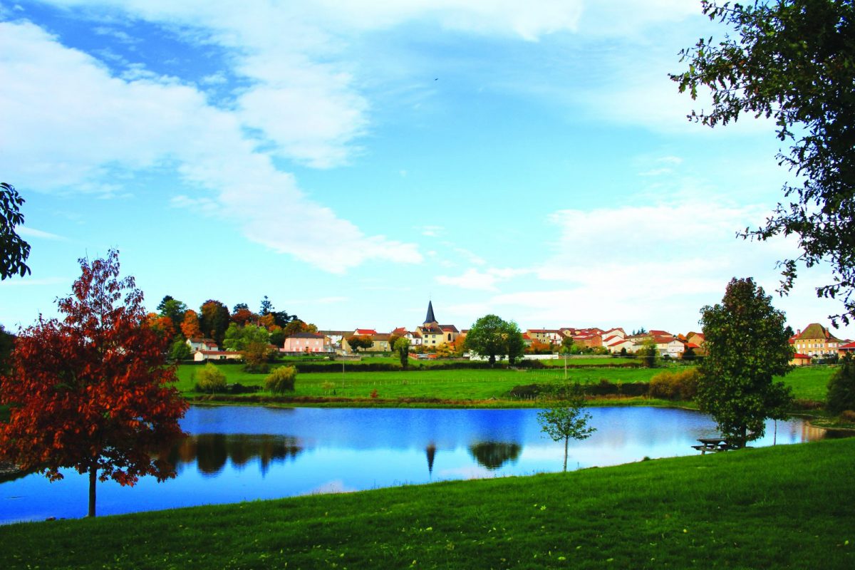
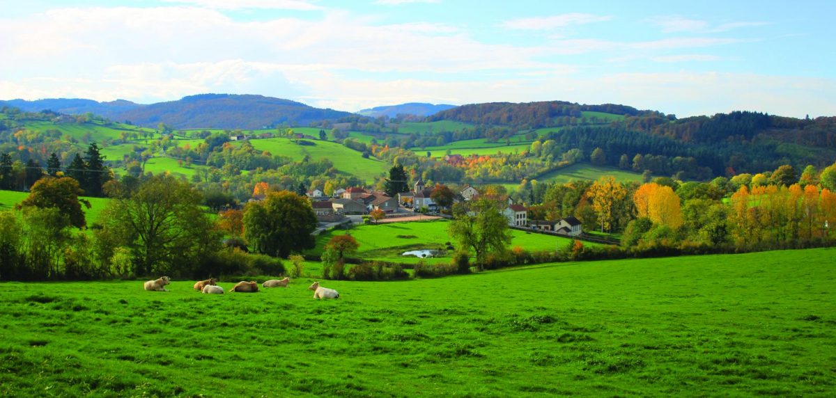
A route through woods and meadows with typical landscapes of the north of the Monts de la Madeleine.

Your itinerary

Map List

1 - Departure

From Place de la Mairie take rue Vizier then allée des Rocs. Go up the D207 to the right then take the first left towards La Motte. Pass in front of a pond and go up on the asphalt.

2 - Step 1

At La Motte turn left and go down towards St-Pierre-Laval. At the cemetery crossroads, turn right, cross the village on the main road and continue for 500 m until the bend in the pond.

3 - Step 2

Turn left, walk along the pond and cross the railway line. Continue straight for 100 m. Take the path on the left that goes up. Cut the road and continue on this path then straight on the road and take the 1st left towards Les Chatards.

4 - Step 3

Cross the hamlet and fork to the left, continue to the crossroads. Continue straight on a dirt track. Turn right onto the road, further on, go down to the left in a small steep path to Fourgnereau.

5 - Step 4

Go down the D52 for a long time then go up towards the Reure. Cross the farm of Valière then at the crossroads, turn left and climb towards the mountain of Jars.

6 - Step 5

At the crossroads at the bottom, turn left again to enter the Bois de Jars. Continue straight on this path.

7 - Step 6

At Petit Jars, turn left and go down.

8 - Step 7

At Croix Presle, go up the road to the right and join the D52. After 100 m, fork to the left then to the right to go along the stadium in the direction of the church and your starting point.