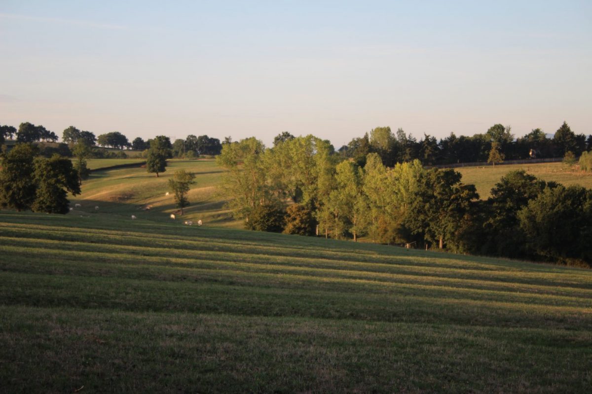
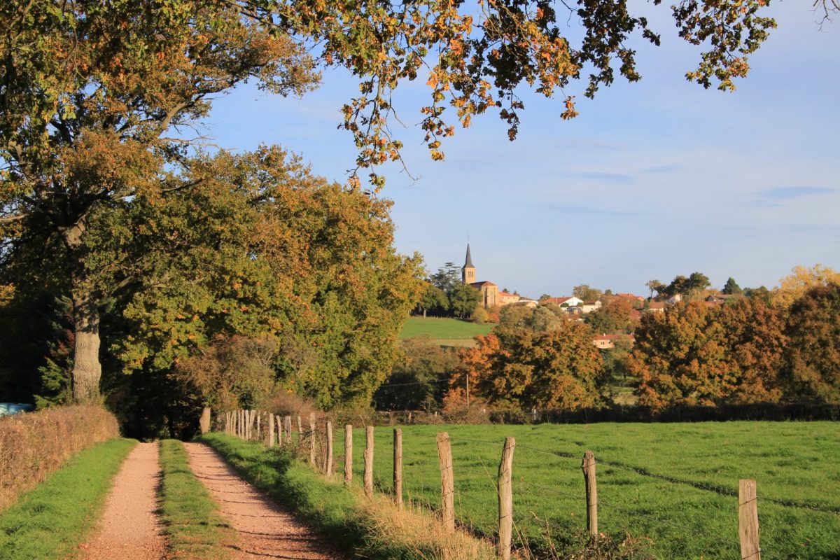
In Noailly, the Roannaise plain is interspersed with rivers and streams forming green valleys "the drops" dotted with ponds and ponds. The fauna of the ponds will surprise you.

Itinerary to find in the topographical guide:
Topoguide hikes and discoveries in the Roannais

Your itinerary

Map List

1 - Departure

Take the direction of the town hall. Turn left and walk along a wall made of flat tiles. At the crossroads, go down to the left.

2 - Step 1

Cross the stream and go straight up. On a path, cross the Teyssonne before the farm. At the crossroads, turn right onto the road.

3 - Step 2

Leave the Jarnotière road on the left. Further on, turn left and meander through the meadows to reach a road in Les Armenaux.

4 - Step 3

Go up to the right. Before the Jarnotière farm turn right. Leave the road and take a path on the right. Then turn left and go down the path at the edge of a wood.

5 - Step 4

Join the D27 below and take it for 200 m on the left. Turn right onto the path and climb through the woods to the D35.

6 - Step 5

Turn right and follow the D35 for 1 km. At La Marande, turn right and go down a path to the river (La Teyssonne). You are now on the road to St-Jacques-de-Compostelle between Cluny and Le Puy.

7 - Step 6

Cross the footbridge and go up to the D4. Cross with caution and take a wide path opposite that runs alongside the park of the Château de la Motte.

8 - Step 7

After 400 m, near a cross, fork to the right. Walk along a pond and go up towards Roberjot.

9 - Step 8

Turn left, then, at the crossroads, right to reach the village and your starting point.