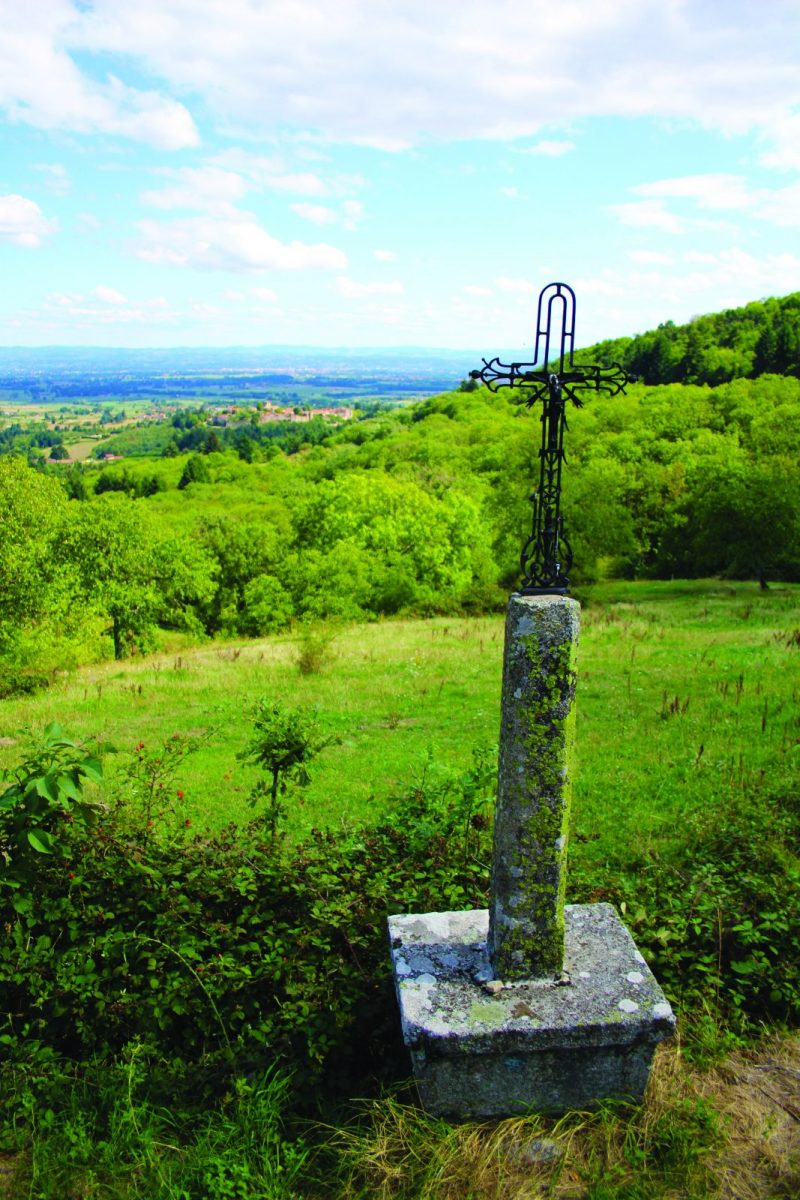
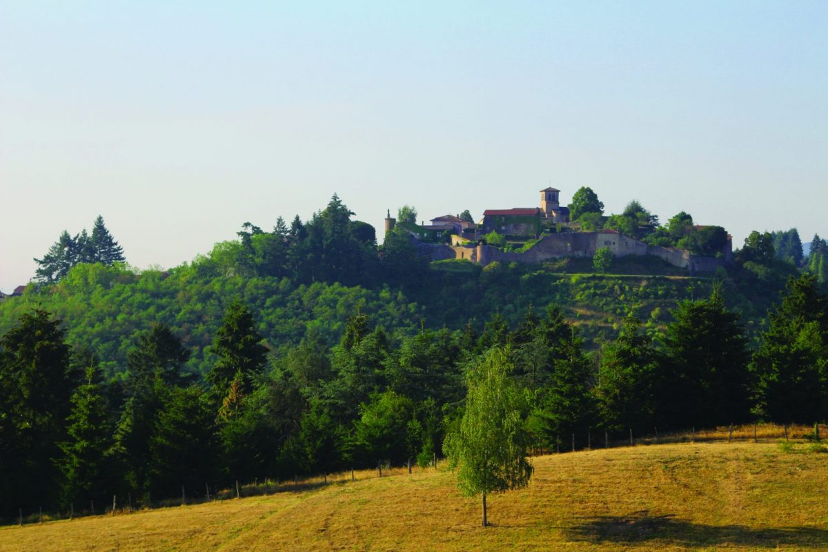
The Forêt de Pardières, culminating at around 730 m, dominates the Côte Roannaise from St-Haon-le-Vieux to Renaison.

Itinerary to find in the topographical guide:
Topoguide hikes and discoveries in the Roannais

Your itinerary

Map List

1 - Departure

From the car park, go up to Place Verdun and take the direction of the town hall. Go around the village by following the ramparts and descend the Montée Charles VII. Go down the stairs to the right and turn right towards the west towards the Fondanges fountain.

2 - Step 1

At the next crossroads, stay on course, leave the tarmac and stay on the main road. Pass in front of a reservoir and join the D39.

3 - Step 2

Turn right at the washhouse. At the cross, turn left onto the D81, cross the crossroads and go up the road opposite. Pass over a farm and

4 - Step 3

Join a wide track and fork to the left. After 600 m, at the crossroads, go down opposite and reach the large Six Pins crossroads.

5 - Step 4

Go up to the left then to the right. After a hill, the route describes a wide curve to the left.

6 - Step 5

Turn right and go down the slope, keeping the course. Further down, find the tarmac and continue straight on to the Croix Saint-Paul. Marking the limit of the franchises of Saint-Haon-le-Châtel, Renaison and Saint-Haon-le-Vieux, the St-Paul cross is mentioned from the XNUMXth century and also appears on the map of Cassini in the XNUMXth century.

7 - Step 6

Climb slightly to the right, alongside a house. Go past vineyards and houses. At the Lorisses crossroads, turn left towards the village of St-Haon-le-Châtel and find the car park and your starting point.