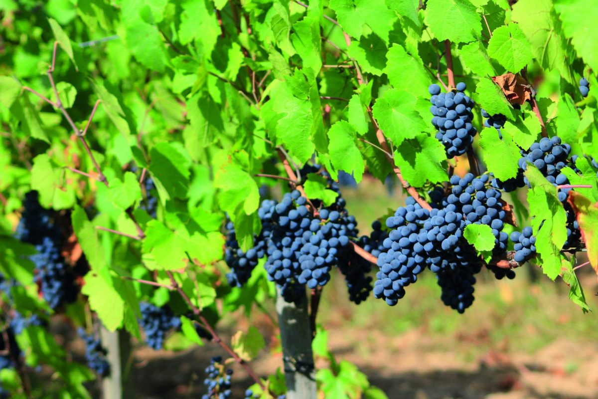
A short loop to discover the local agricultural activity.... Ideal after a good Sunday meal!

Itinerary to find in the topographical guide:
Topoguide walks and discoveries in the Roannais

Your itinerary

Map List

1 - DEPARTURE

In front of the toilets, facing the war memorial, go down the street on your left, leaving the church behind you.

2 - STEP 1

After 50 meters, go down the small dirt road that leads to the mineral water park. Go over the catchments. At the end of the alley, leave the chemin de St-Jacques off to the right and continue straight ahead in the alley of lime trees.
On leaving the park, cross the road and take a small path.
After a few meters, turn left on a small path and reach the dovecote (information panel).
After admiring the view of the vineyard, continue to the road.

3 - STEP 2

Cross and take the stairs between the houses. Pass under the porch and go straight up. At the crossroads continue straight ahead in the rue de la Croix des Prés along the school. At the fork, turn right and go up Rue du Cros.

4 - STEP 3

After the cemetery, continue straight along the motocross field on your right. Higher up, join the vines and an information panel. At this place, possibility of making a loop in the vineyards. Retrace your steps to the previous crossroads then go down Chemin de la Bataille to the right.

5 - STEP 4

At the signpost, turn left onto a small path towards Saint-Alban-les-Eaux. Back on the road, continue to descend to the left to reach your starting point.