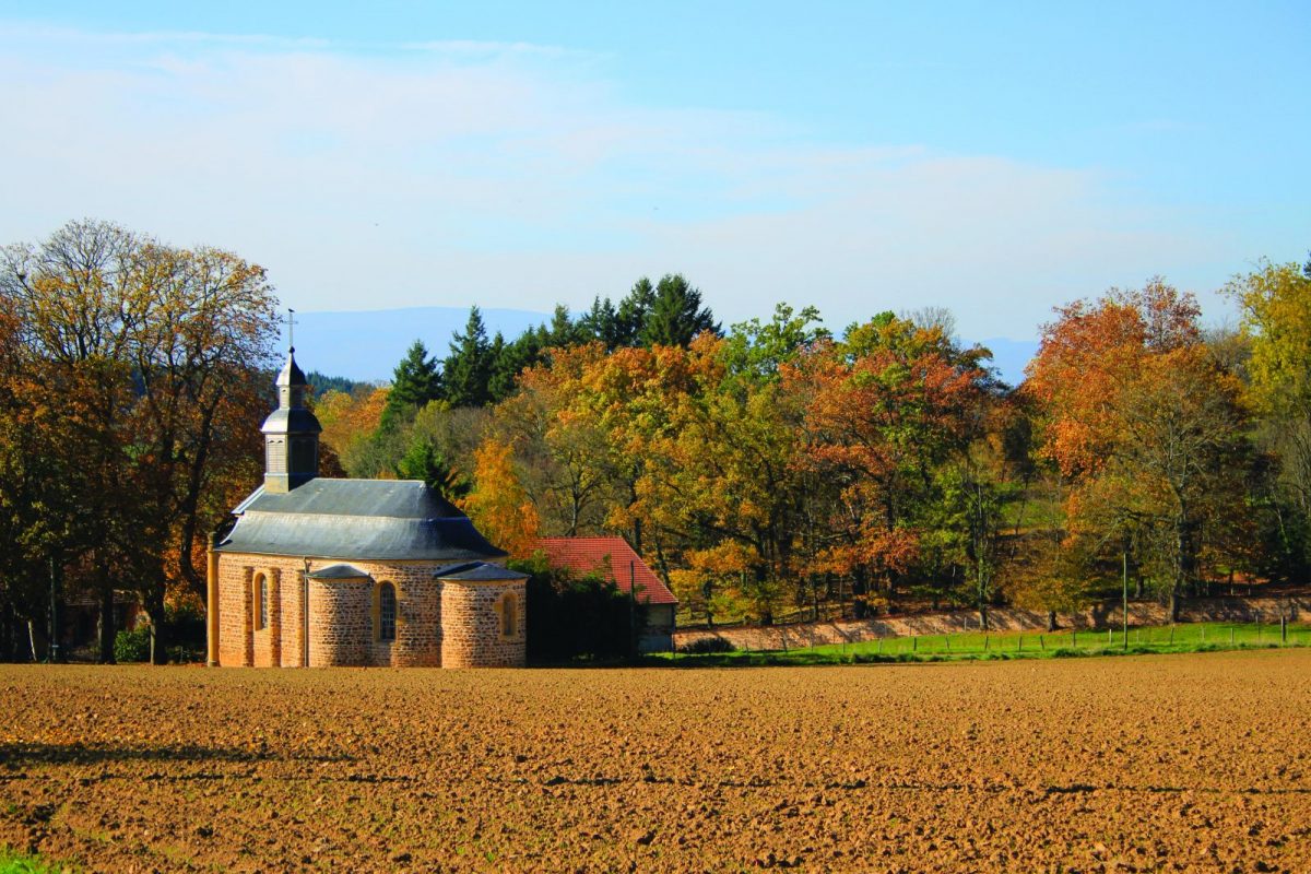
A circuit rich in its heritage, its panoramic views and the bucolic landscapes along the Trambouzan.

Itinerary to find in the topographical guide:
Topoguide Walk in the Roannais.

Your itinerary

Map List

1 - Departure

From the car park, walk along the stadium to the west. Cut a road and continue in the same direction.

2 - Step 1

At the D31, turn left onto a path in the direction of Montplan. Find the road and turn left. At the crossroads, take the path opposite and descend for a long time towards Bois Sarna.

3 - Step 2

Take the path on the right then go down to the left. Cross the Trambouzan and go up to Armont, crossing the D49.

4 - Step 3

Just after the chapel, go up in the meadow on the left to find the road. After a farm building, turn left towards Le Cordonnier. Cross the village and go up into the woods. Take a hairpin turn to the left to descend to the Trambouzan. Cross and go up to La Chaveronderie.

5 - Step 4

Continue on the road and join Montchanin. After the houses, go down the path to the left. Go along the stream then climb steeply to the right.

6 - Step 5

Cut the D49 and go up to Martoret, turn left and go up towards the village of Coutouvre.

7 - Step 6

Find the asphalt and turn right towards the pylon. At the crossroads, turn left towards the car park and your starting point.