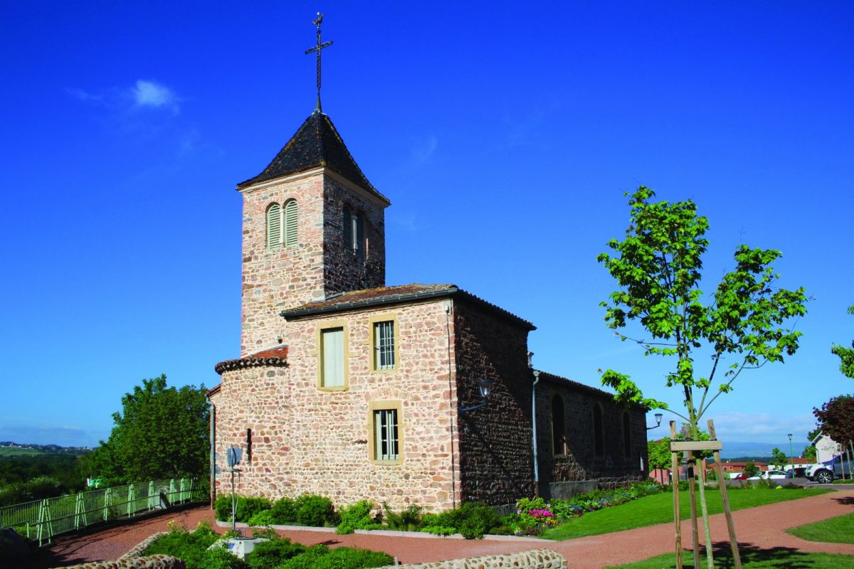
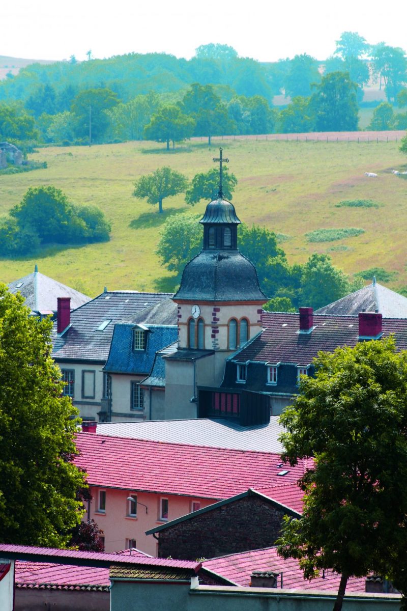
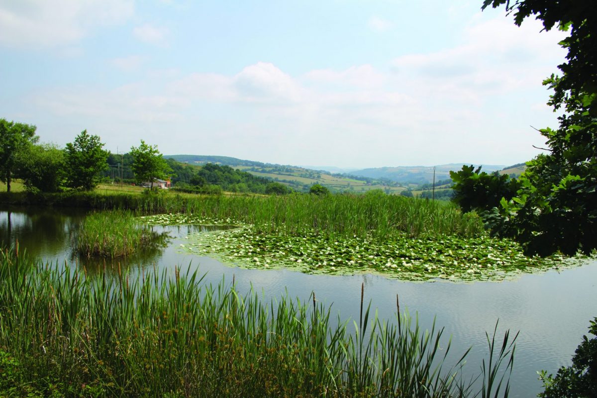
Between Notre-Dame-de-Boisset and the Abbey of Pradines, a rural getaway punctuated by the crossing of numerous streams.

Itinerary to find in the topographical guide:
Topoguide Walk in the Roannais.

Your itinerary

Map List

1 - Departure

In front of the town hall, walk along the church towards the bell tower and go down the stairs. Go down the road to the left and cross the Lavally stream. For horses, go around the church to the left.

2 - Step 1

Go up, ignore a road on the right and take the path on the left in front of a house. Continue to join a road and then turn right.

3 - Step 2

At the crossroads, go straight ahead and cross the D45. Continue on this path surrounded by fences to the bridge over the waterway. Go up between the meadows.

4 - Step 3

A little before the Chez France farm, turn left then leave the path on your right. Leave a path on your left and find the tar. Turn left onto the road then left again after 50m.

5 - Step 4

Go down the path, cross a stream. Take the first right going up to a place called Godinot.

6 - Step 5

Cross the D45 again and continue straight on on the path. Go up in the Bois des Ardilles.

7 - Step 6

Find the road again, at the crossroads, turn left. Further down, a second crossroads allows you to descend to the left in the direction of Notre-Dame-de-Boisset.

8 - Step 7

Before a pond, turn right and go up a grassy path. Behind a house, turn left and join a street. Pass the basketball court and reach your starting point.