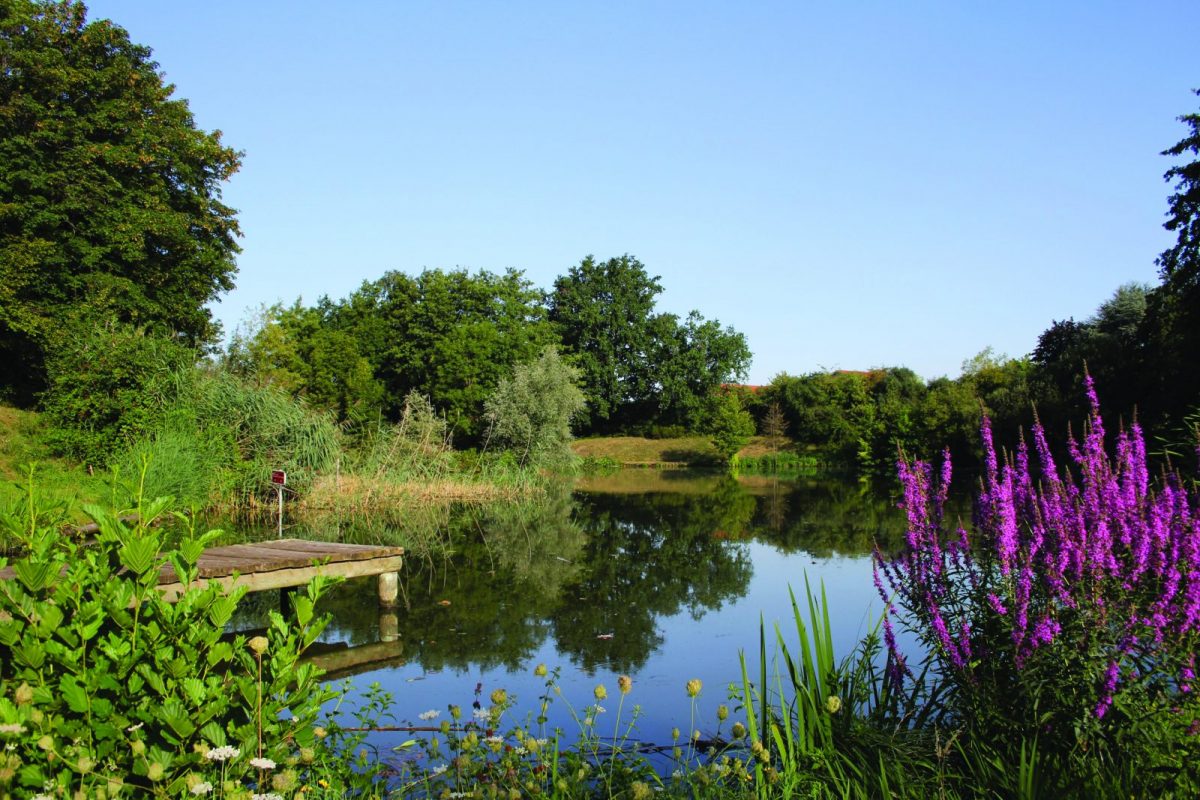
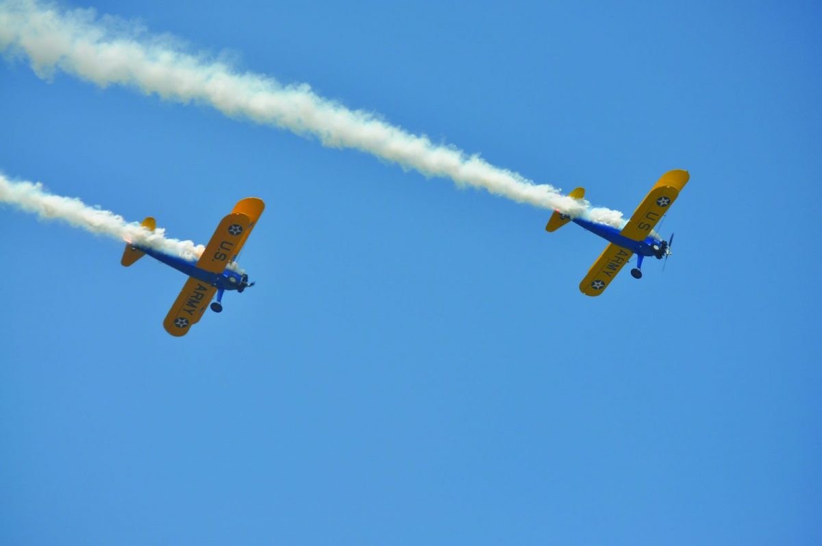
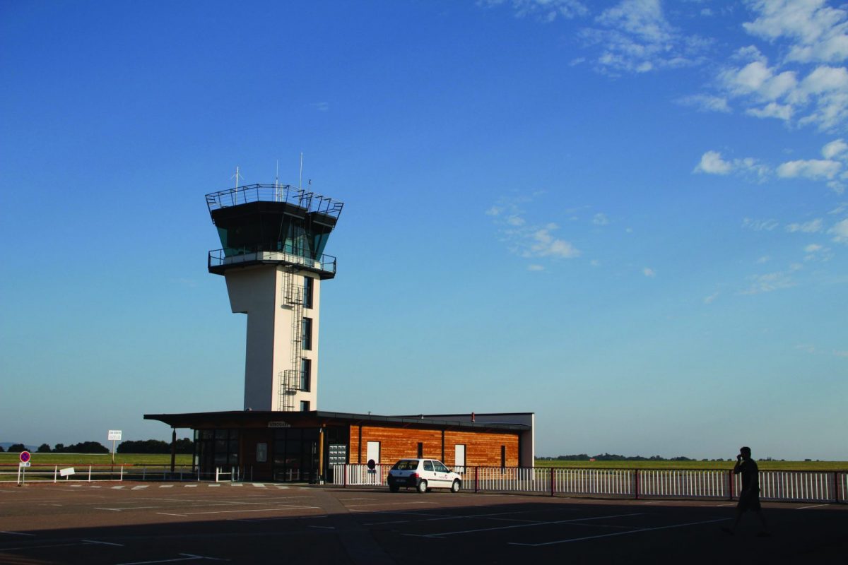
The sky is in the spotlight on this circuit with its particular landscapes and atmosphere, especially around the airport.

Itinerary to find in the topographical guide:
Topoguide Hiking in the Roannais.

Your itinerary

Map List

1 - Departure

From the car park, cross the Route de Nobile and pass the wooden barrier. Continue on the right following the grass path until the road to St-Romain-la-Motte. You walk along pretty wet meadows, ponds and willow groves on your right.

2 - Step 1

Turn right towards St-Romain. Continue on the right up the Montée de la Folie then turn left on the route de Nobile. Cross the St-Romain road and continue opposite on the Nobile road.

3 - Step 2

At the crossroads, continue straight ahead, leaving the Chemin Hélène Boucher on the right. At the end, turn right onto the road to the airport.

4 - Step 3

At the airport roundabout, turn right. Turn left onto Chemin Hélène Boucher.

5 - Step 4

After 2 bends, turn right on the path before the farm. Continue to the right and join the road. Take the opposite to find the road to St-Romain.

6 - Step 5

Turn left (Montée du Gros Chêne) on the road. Take the first right and then right again. Continue on the road.

7 - Step 6

In the hamlet, take the first tarmac road on the left (Chemin Marc Sangnier). Turn right on Chemin de Beaucueil and stay on course until you reach the La Villette business area.

8 - Step 7

Turn right into rue Marcel Griffon. At the crossroads, cross and continue opposite on rue Pierre Dubreuil. Turn right and descend to the banks of the Combray pond. Follow the banks to reach the car park and your starting point.