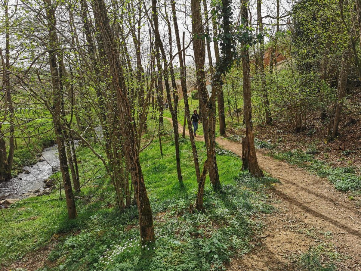
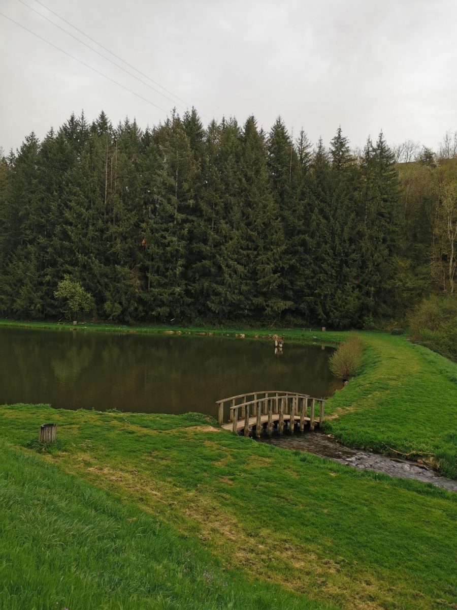
This walk combines small heritage and interesting points of view. At the cross, at a place called Péricard, the highest point of Saint Victor, you will discover a very beautiful panorama.

Itinerary to find in the topographical guide:
Topoguide Hiking CoPLER.

Your itinerary

Map List

1 - Departure

City hall.

2 - Step 1

Take the D9 towards Amplepuis. At the crossroads in the center of the village, turn left then immediately left. Go up the stream then take the first paved road on the right. Continue the path parallel to the D9 to pass next to the Gai Séjour housing estate and continue along a small dirt road to an intersection. Take the paved road to the left and climb up to a place called Péricard.

3 - Step 2

At the cross, take the path opposite to enter the wood of Marnanton. Arrived on a small paved road, turn right and continue on the path towards the place called Les Oliviers. Cross the Marnanton, to arrive on a small paved road and continue it to Pantachon. Go up the path on your right and cross two gates.

4 - Step 3

Arrived at a place called La Sarre, take the left path then turn left again. Cross the viaduct and turn left while following the railway line. Continue to the left towards the village to reach the starting point of the circuit.