Your itinerary
1 - Departure
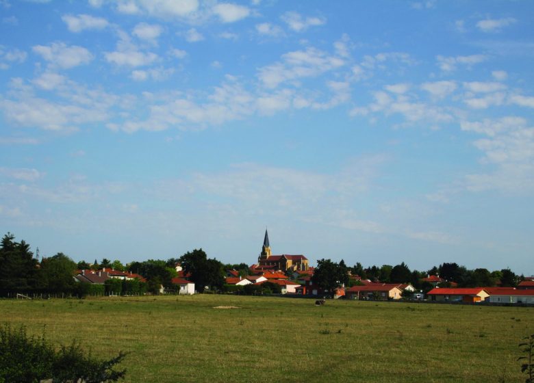
Place de Verdun, opposite the church, turn left then turn left into Allée des érables. At the roundabout, turn right onto rue du Creux Grelu, then left.
2 - Step 1
Continue straight until the crossroads and turn left towards Etang Chevrot. Follow this small road for 900 m. At the first crossroads, continue to the right then at the second crossroads, take the path on the left.
3 - Step 2
Back on the road (D27), turn left and after 100 m, turn right. At the crossroads turn left then always straight.
4 - Step 3
Turn left on the D39 and cross to take the first road on the right. Then take the first dirt road on your left.
5 - Step 4
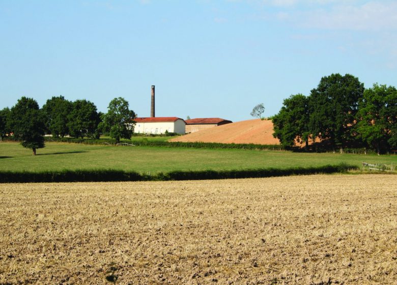
At the next crossroads, turn left to pass through the fields, following a grassy path. On the right, you can see the large chimneys of the Tuileries district.
6 - Step 5
Turn left and continue on this road to the CRS barracks. Cross, then turn right onto the D27 and immediately left to enter Louise Michel park. Note: for horse riders, follow the D27 in the opposite direction then take the first on the right and the first on the left.
7 - Step 6
When leaving the park, turn left rue Alexandre Dumas then turn right rue de la Billodière (pedestrian alley). Further on, take the Chemin de la Billodière and continue straight ahead along the omnisports center and the college.
8 - Step 7
After the college and the “Cocarde”, at the end of the alley, cross the D27 and turn left then immediately right onto rue des Glycines which leads to the village and your starting point.


