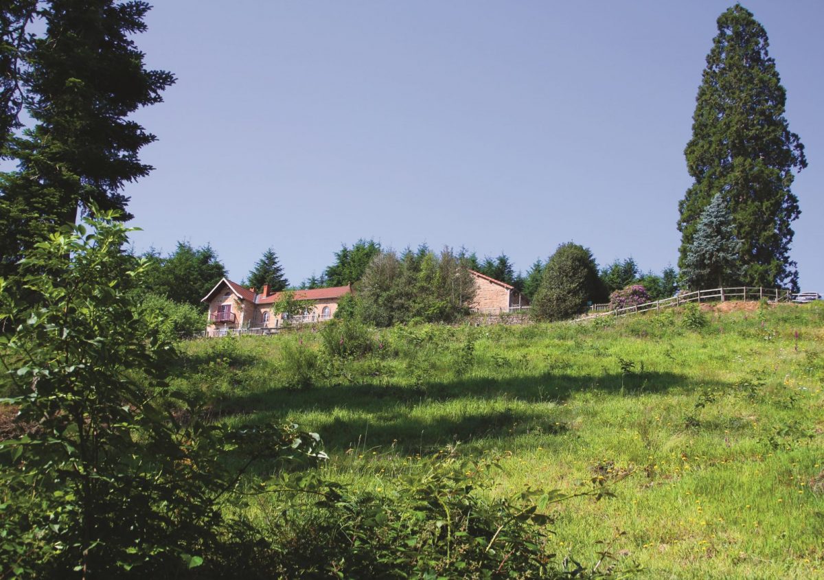
At the top of Bécajat, a breathtaking panorama over the plain, St-Bonnet-des-Quarts, the Morvan and the beginnings of Bourbonnais

Itinerary to find in the topographical guide:
Topoguide walks and discoveries in the Roannais

Your itinerary

Map List

1 - Departure

Departure: At Croix-du-Sud, take the D9 towards Châtel-Montagne.

2 - Step 1

After 200 m, take the path which climbs to the left and overlooks the road.

3 - Step 2

Come out on the Chemin de Bécajat and pass in front of the tree climbing park. After a bend, follow the wide track which gradually rises towards the Bécajat inn.

4 - Step 3

In the car park (superb view over the Roanne plain), take the steep path to the right (west) and stay on course. After a wide curve, the path descends towards the South.

5 - Step 4

At the Bois de Malgoutte (for the winding beech alley, take the path on the right), continue south and go up to Fouet-Haut.

6 - Step 5

Cross the D39 and descend towards the Fouet-Bas. Go down the road to the right.

7 - Step 6

At the crossroads turn left into the path towards the Croix du Sud.

8 - Step 7

After a long curve on the mountainside, pass between the houses of the hamlet of Garrivier. Go up the road to the left and reach your starting point via the D39.