


Wood Clerk
Difficulty Moderate
Duration 02h
Elevation 370 D +
Distance 8,5 km
Yellow and white markings with route number 1
- Departure 42370 Arcon
- LOOP
A course mainly in the undergrowth that connects the Col de la Croix Trévingt and the plateau du foré de la Chaux.
Itinerary to find in the topographical guide:
Topoguide walks and discoveries in the Roannais
Your itinerary
1 - Departure
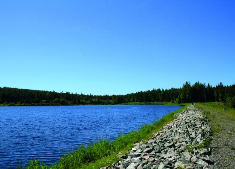
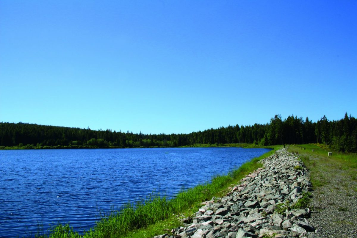
Park on the side of the road then take the small road below the D51. View to the north over the Rouchain and Tâche valleys, in the background, the Col de la Croix du Sud and Bécajat.
2 - Step 1
At the level of a chalet, take the path which climbs to the left of the cross. Stay focus. The path forms a large curve and passes upstream of a water catchment. Keep the main path and tackle a steep slope.
3 - Step 2
At the signpost, turn left towards Gué de la Chaux. Continue straight ahead in the same direction. You pass below the Rochefort rock (orientation table).
4 - Step 3
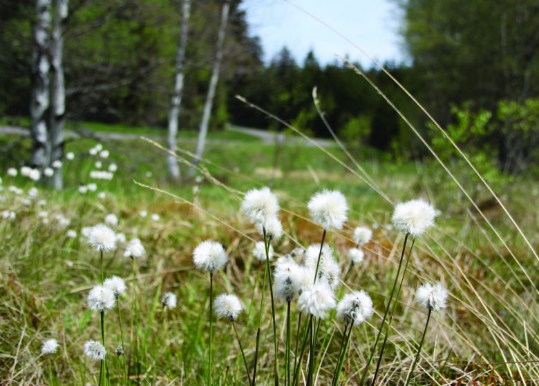
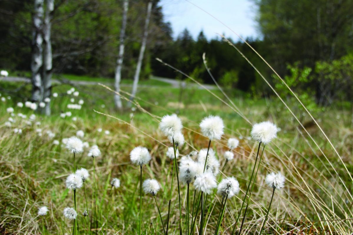
At the top, cross an open area and go straight at the crossroads to dive into the freshness of the undergrowth. Le bois Greffier A course mainly in the undergrowth that connects the Col de la Croix Trévingt and the plateau du foré de la Chaux.
5 - Step 4
At the post, fork to the left. Cut the D51 towards Croix trévingt. After 200 m turn left. The path narrows then leads to a wide path. Take a right. Continue and descend among beech trees.
6 - Step 5
Continue the descent, leaving the right paths and threading into a small path on the left which descends to the road.
7 - Step 6
Cross the D51, take the small path. Find the D51 and walk along it until the next bend. Take the path on the left. Exit the woods and cross the D51 again to go down opposite and reach the crossroads of Croix Trévingt and your starting point
