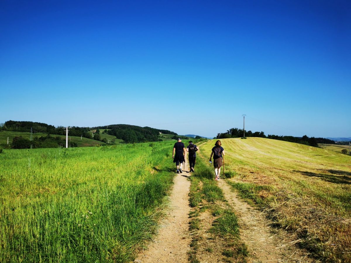
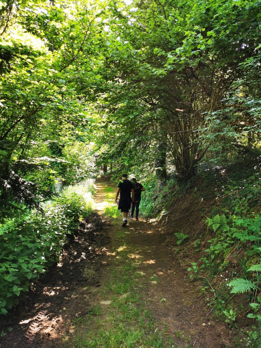
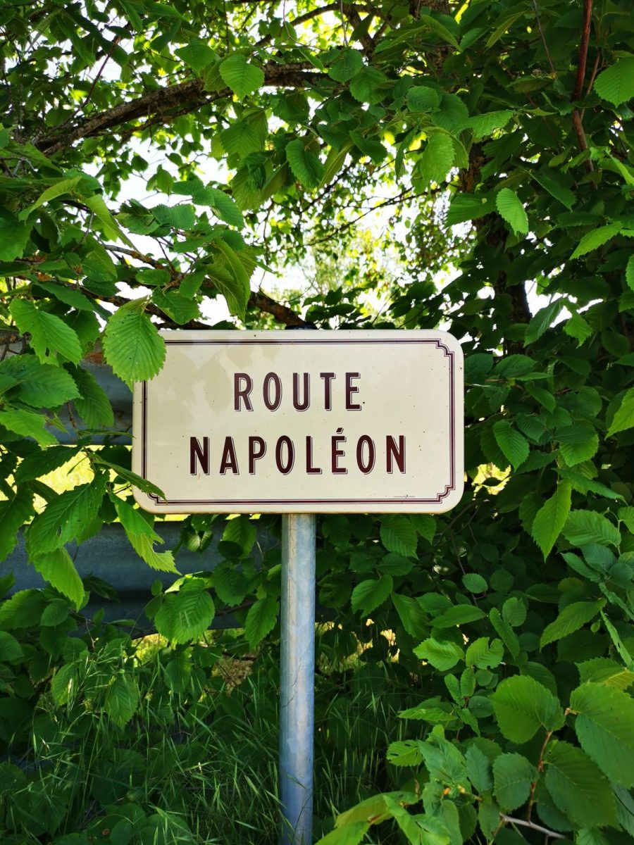
The laricio pines and the passage of Napoleon give a Corsican accent to this walk on the heights, between forests and meadows

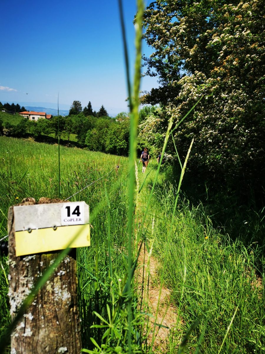
Itinerary to find in the topographical guide:
Topoguide Hiking CoPLER.

Your itinerary

Map List

1 - Departure

Parking, Town Hall Square

2 - Step 1

Take the D5 towards Amplepuis for 100m, then climb to the right as far as the cross (view to the left of the Monts de la Madeleine and the Monts du Forez). Cross the old N7 and get off at La Fontaine. Turn left, cross the hamlet and take the D5 to the right. Then go under the N7 bridge, continue for 100m and go up the road to the right.

3 - Step 2

Before the Chassin, descend by the path furthest to the left (view opposite on the Monts du Beaujolais). At the cross, near Berchoux, take the country path to the left and descend to La Forêt.

4 - Step 3

In the hamlet, turn right. The path descends, crosses the valley and climbs the opposite side (boxwood then laricio pines on the right). Follow the road to the right for 50m.

5 - Step 4

At the prohibition sign, go up to the left into the Thivard forest (larches on the right). Take the road for 100m.

6 - Step 5

Go down to the right at Fay. After the hamlet, continue along the path. At each intersection, go straight. Then go up the road to the left to the old N7. Turn left again, then take the path to the hamlet of Pin Bouchain (stele of Napoleon). Cross National 7 (be careful) and continue for 20m.

7 - Step 6

Go up to the left and walk along the fence to reach La Maconnière. In the hamlet, go down the path between the farm and the concrete wall. Then at the laundry, take the road to the right and find the village.