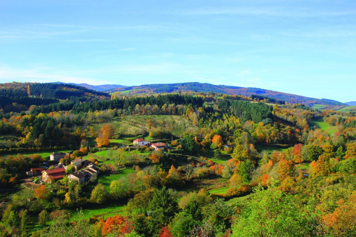
Sentinel facing the village of Ambierle, Montenaud is a place full of legends ... Do not forget to climb to its summit to admire a 360 ° panorama.

Itinerary to find in the topographical guide:
Topoguide hikes and discoveries in the Roannais

Your itinerary

Map List

1 - Departure

Park at the Martinière cuvage. Facing the greenhouses, go up the path on the left which runs alongside the vines.

2 - Step 1

At the crossroads, climb to the right in the direction of Mourier and Changy. Continue straight on towards a pine wood. At the crossroads, descend slightly to the right, cross the wood then walk along a house. At the end, go down to the left towards the quarry.

3 - Step 2

Go up the road towards Le Mourier (north), leaving the quarry on your left. Continue on the asphalt for 500 m and cross the hamlet entirely. Back on land, veer left twice. Continue on this path for more than 2 km until the Croix Noailly, passing in front of an isolated house. The Croix Noailly is a beautiful XNUMXth century granite cross. It marks the limit between Ambierle and St-Bonnet-des-Quarts.

4 - Step 3

Cross the D52 and take the path on the left. Further up, turn left again and go back down to the road. Cut the D52 and take a small path opposite. Further on, go up on the right.

5 - Step 4

At the crossroads, turn left towards Ambierle. Descend for a long time, keeping the course to the east.

6 - Step 5

Before the first house, turn left towards Montenaud. In Roc Bezot, turn sharply to the right at the level of a house. At the next hamlet, join the road, then follow the tarmac on the right.

7 - Step 6

Go down the first path on the left. At the crossroads, straight ahead then left. Fork to the right and go up to the edge of the wood below the Montenaud. Go up and along the meadows (view of the Roanne plain). After a few bends (outside the route, possibility of reaching the summit by following the markings), go back down to the car park and your starting point.