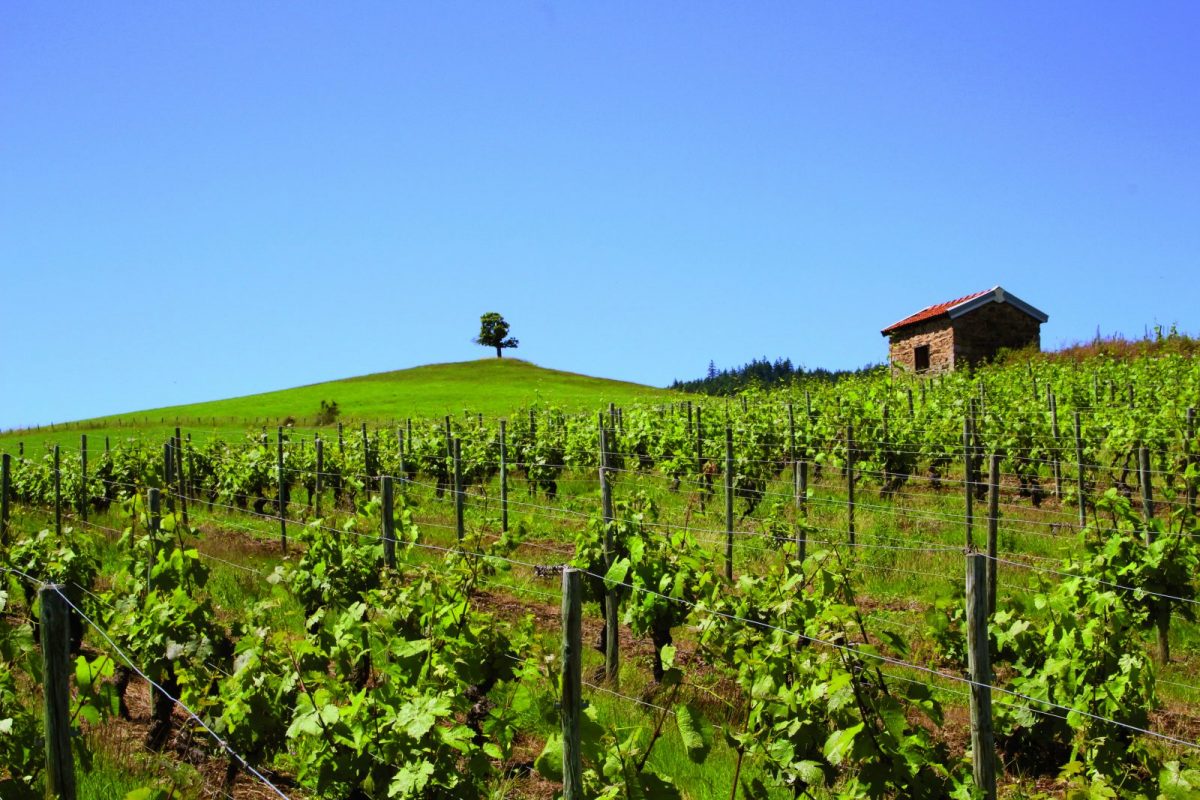
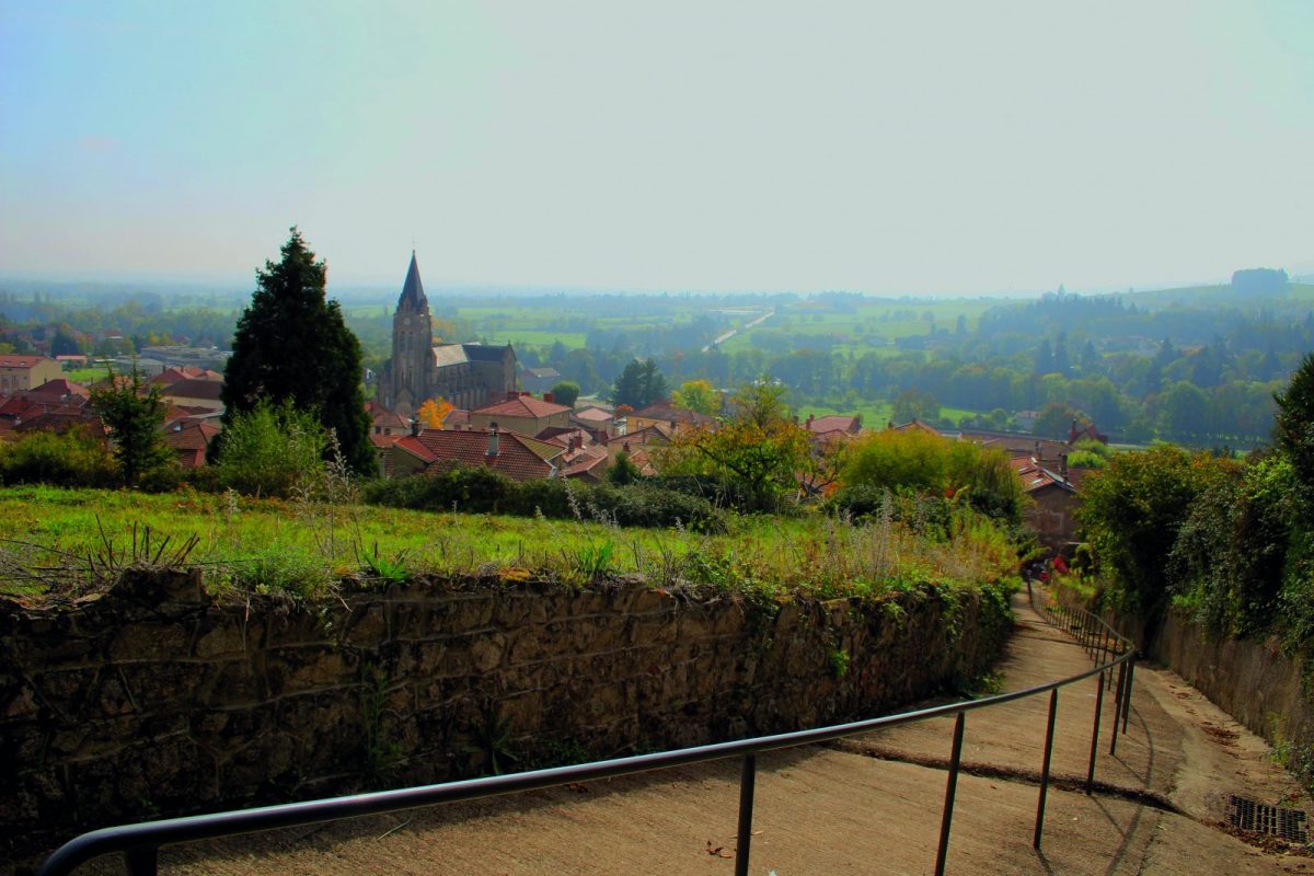
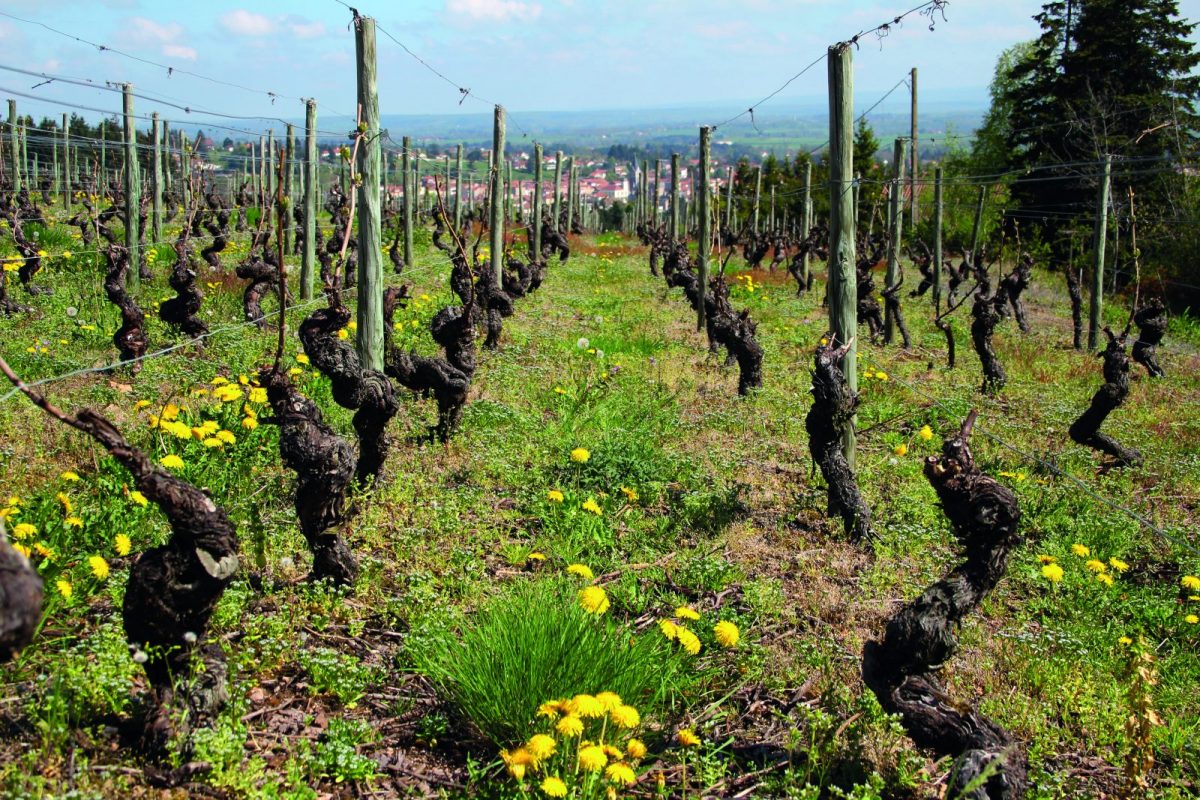
Current center of gravity of the Côte Roannaise, Renaison has a rich agricultural and wine-growing past linked to the Renaison valley.

Itinerary to find in the topographical guide:
Topoguide walks and discoveries in the Roannais

Your itinerary

Map List

1 - DEPARTURE

From Place du 1 Novembre, go up towards the war memorial then take Rue Stéphane Bertaud. Admire the oldest houses in the village on your right.

2 - STEP 1

At Place Crionnet, turn right to go up Allée de la Chapelle. After the Chapel, cross the Route du Peuil and continue on the small dirt path.

3 - STEP 2

Pass between the houses and turn left towards the Drigeard clog factory. Take the chemin de la Châtaignrie to the left (information panel) which crosses livestock meadows.

4 - STEP 3

Turn left on rue du Peuil and begin to descend on the asphalt.

5 - STEP 4

Take Chemin du Puy to the right and go down the slope to Montée St Roch. Continue down to your left. Cross the D9 and reach Place Cronnet.

6 - STEP 5

Take the Chaudignot path on the right then left on the rue des Bénéveaux.
Continue down Rue des Rivières to the Stadium. Turn left to walk along the dirt football field then go up towards the church (information panel).
In front of the town hall, turn right via rue de Gruyère to reach the car park and your starting point.