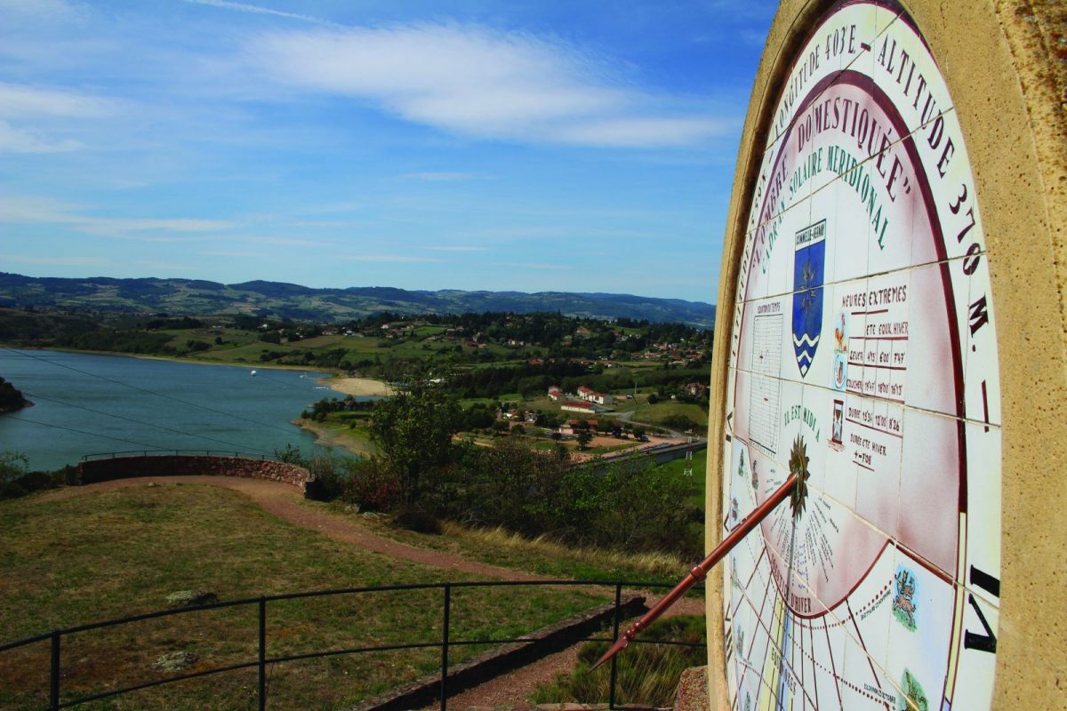
Viewpoints and panoramas follow one another on this long route around Commelle-Vernay.

Itinerary to find in the topographical guide:
Topoguide Hiking in the Roannais.

Your itinerary

Map List

1 - Departure

From the car park, cross the roundabout and take the D56 towards Lac de Villerest. Depart from the road to the right then find it on the left. Continue along the D56 then turn right.

2 - Step 1

Continue on Chemin David. Take rue Victor Dupré then the first on the right (impasse de Gourde). Climb the stairs and reach the Place des Granges.

3 - Step 2

Continue on the ramparts path to reach the church of Vernay.

4 - Step 3

From the church square, go down rue des Sources then left to the stop sign. Cross and take the rue des vignes then climb to the right the Montée de la Cure and wait for the D56.

5 - Step 4

Go along the D56 to the right until the belvederes roundabout. Go down the D18 to the right then cross in the direction of the Tourist Train. Pass in front of the station and the house.

6 - Step 5

Join the first sundial then go down to reach the railroad track. Follow the rails overlooking the Loire for 3 kilometers. Turn right just before the arrival station.

7 - Step 6

Go along the minigolf and go up the asphalt road.

8 - Step 7

Take the D56 then turn right in the direction of the Monts du Forez clinic. Pass in front of the clinic, then to the right towards the small pond. At the cross, turn left, then right at the first crossroads.

9 - Step 8

Take mowing on the Cordelle road (D43). Leave the D18 on your left and turn right onto the road to Saligny. Continue to the left on rue des Lilas. Cross the park and, in front of the cemetery, turn right towards the church of Commelle.

10 - Step 9

Left, rue Pasteur, then right on the forest path. Sure the railroad tracks. Cross the track and take the grass path on your left. Continue along the railway line and turn mowing onto Chemin des Arnauds to return to the start.