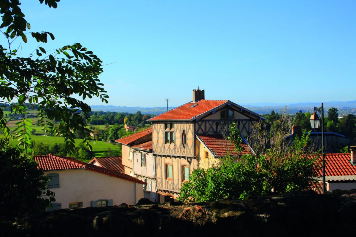
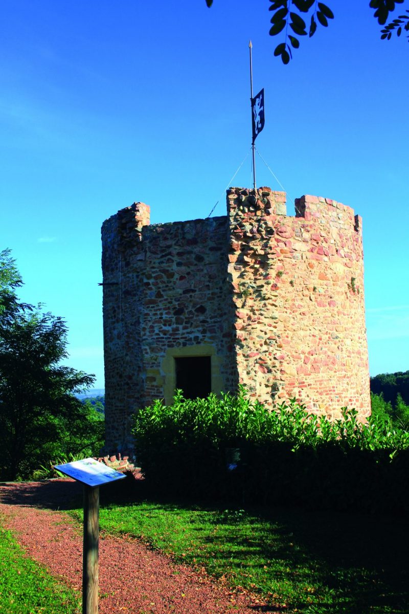
Outpost of Beaujolais in Forézienne land, the perched city of Perreux preserves beautiful remains of its medieval past.

Itinerary to find in the topographical guide:
Topoguide Walk in the Roannais.

Your itinerary

Map List

1 - Departure

Before starting, go up to the tower to admire the landscape. Then, go down the stairs of the Place de Verdun and continue in the rue du Lavoir then the rue de l'Escalier.

2 - Step 1

Cross the D504 and go down the path that runs along the road. Turn left and cross the bridge over the Rhodon. Go straight up then fork to the right. Continue to the N7.

3 - Step 2

Walk along the N7 along the meadow. Turn left and take the driveway to the Château de Chervé. Before the castle, turn right into the wood. Turn right on the road to exit the school. Turn left then left again and continue on the road. Take the path on the right towards the Madonna. (Go up to the Madonna to admire the view).

4 - Step 3

Turn left along the pig pens. After the houses, turn right onto a grassy path. Find the road again and turn left then at the crossroads to the right. Go up then turn left to join a path.

5 - Step 4

Follow the road for a few meters then turn left. At the end, turn left and pass in front of a house. Walk along the meadow then descend into the woods.

6 - Step 5

At the crossroads, turn left. Cross the footbridge and go up. Cut a road and continue to climb up to the cross (dated May 6, 1641).

7 - Step 6

Turn left between 2 meadows. Pass the antenna and join the road by turning left after the house. Go down to the right then take the bend to the left.

8 - Step 7

Cross the D504 and climb the stairs to reach the village and your starting point.