1 - Departure
From the car park, go to the crossroads of the D18 and D39. Take the small road to the Four à chaux. At the level of the old oven, turn right onto the road. At the next big crossroads, turn right again towards St-Germain-Lespinasse.
2 - Step 1
Pass the Fillerin, the castle of Chamarande and continue opposite on the road lined with plane trees. At the water tower, turn left and at the next crossroads, go straight on to the cemetery.
3 - Step 2
Turn right into the rue de l'Enfer and come out on the place du 8 Mai. Go down the old N7 to the right. Before the roundabout, take the small tunnel over the river for walkers and mountain bikers (pass under the road bridge for riders). On the other side, go up to the right and arrive at the St-Irénée cross.
4 - Step 3
Head left and go down the first path on the left which winds between meadows and meets a road.
5 - Step 4
Take the road to the right then a grassy path to the left. At the crossroads, choose straight on the road. Further on, follow the tarmac to the left. Go down to the left to cross La Teyssonne.
6 - Step 5
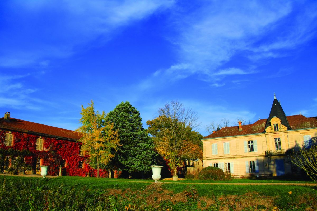
At the next intersection, turn right, for 500 m further, follow Noailly to the right along a farm. The path crosses La Teyssonne. It becomes tarred again, crosses the Cacherat and goes up to the village of Noailly.
7 - Step 6
At the church square, take the small street between the houses on the left. Pass a valley and climb to a crossroads, continue to the right in the direction of St-Romain-la-Motte. Pass a farm then cut a road to take a grassy path.
8 - Step 7
Take the road on the right to get to the Croix de la Perche crossroads. Cut the D27 and continue opposite. Go down for a long time to Gameau
9 - Step 8
At the cross turn left for a long straight line. After the ponds, at the crossroads of La Brosse, take the road on the left.
10 - Step 9
After the bridge over the Fillerin, take the Chemin des Pélerins on the right. Turn right onto the asphalt. Further on, at the fork, choose to the right to reach the N7 (dangerous crossing). The small road on the other side brings you back, after 2 km, to the village