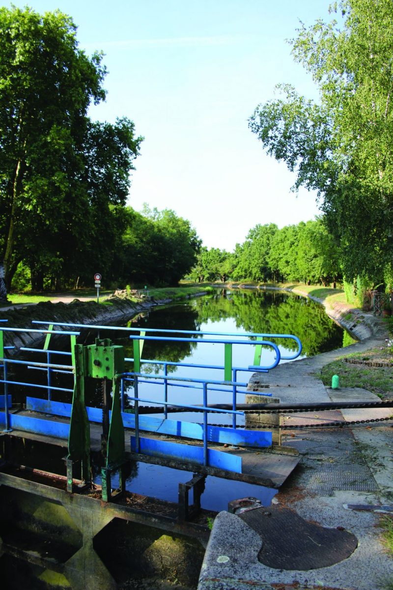
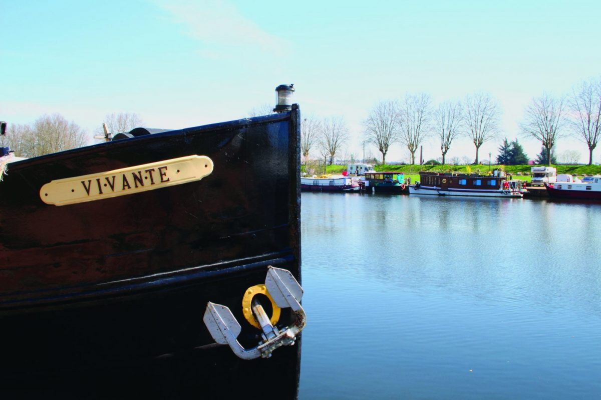
A circuit under the sign of water which will take you from ponds to ponds, from locks to bridges along the canal from Roanne to Digoin ...

Itinerary to find in the topographical guide:
Topoguide Hiking in the Roannais.

Your itinerary

Map List

1 - Departure

At the Merlin leisure center, go around the pond on the left then follow the road to Briennon by the small path in gore.

2 - Step 1

At the roundabout, cross the road then continue towards the village. Turn right into rue des Glycines. Continue straight until the roundabout in the village of Mably.

3 - Step 2

Turn right onto the square, passing in front of the church, turn left into allée des Erables until the roundabout, then right onto rue du Creux Grelu.

4 - Step 3

At the crossroads, turn left onto Chemin de Lina, which you will follow for 1,5 km.

5 - Step 4

Then take the left road, then the 1st road on the right, enter the courtyard of a farm, leaving a pond on the left. Cross the property and continue on the small country lane.

6 - Step 5

Cross the rue d'Enfer, then the road to Briennon (D43) (watch out for traffic). Cross the canal and turn left on the towpath (greenway). Walk along the canal to the 1st intersection.

7 - Step 6

Leave the towpath and take the tree-lined driveway on the right. Turn right and continue on this small road.

8 - Step 7

Leave the Cornillon lock on the right and continue opposite. At the Moulin de Cornillon turn right, walk along the pond to the canal and again take the “véloire” on the left.

9 - Step 8

At the level of the ULM base, cross the bridge and continue straight on along the small gore path parallel to the road. Find the Merlin pond and your starting point.