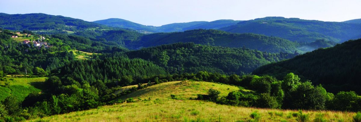
Often culminating at more than 1000 m of altitude, this circuit multiplies the points of view on the plain, the dams and the chain of the Madeleine.

Itinerary to find in the topographical guide:
Topoguide hikes and discoveries in the Roannais

Your itinerary

Map List

1 - Departure

From the car park, take the D47 on the right towards Renaison. After the big curve, go up the road to the right towards Marymbe

2 - Step 1

Leave the road to climb to the right, cross the hamlet to reach a path. Under the house, climb to the right, then on the flat, reach the top of the hamlet of Marymbe. Take the path to the right and go up for a long time to the reservoir. At the large crossroads, turn left.

3 - Step 2

At the crossroads, climb to the right towards La Grande Borne. After 1,5 km, you will arrive at the large Plan du Grand Jonc crossroads.

4 - Step 3

Leave a wide path on your right to continue opposite. After 1 km, cross the Crèches stream and climb steeply up to a wide forest track. Follow it to the right to La Grande Borne.

5 - Step 4

At this large road junction, take the opposite direction towards Trève Robin along the road.

6 - Step 5

At the Trève Robin junction, go down to the right towards Les Forges. After more than 2 km, come out on the D47. Go down to the left 250 m on the road.

7 - Step 6

Between the houses of La Bériche, turn left then immediately right to climb up to the old Noës football field. Go down a path to the Forges. Take the D47 to the left for 100 m and dive right onto a small road. Again on the D47 turn right towards the village and your starting point.