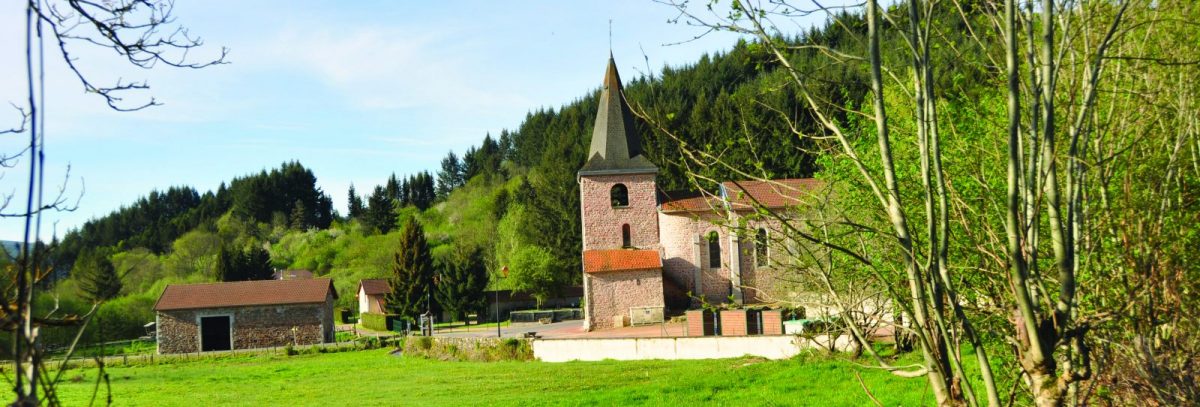
On the heights around St-Rirand, this circuit offers different points of view over the village and the Tâche valley.

Itinerary to find in the topographical guide:
Topoguide walks and discoveries in the Roannais

Your itinerary

Map List

1 - Departure

Departure: Leaving the square, take the road on the left towards Les Benoits. At the mission cross, go up to the left.

2 - Step 1

Cross the hamlet, and continue on the road for nearly 1 km. Cut the D9 and continue to climb. At the end of 100 m the tar gives way to the earth.

3 - Step 2

At the crossroads with an iron cross on the left, follow the path opposite and go down. Join a wide path and turn left (north).

4 - Step 3

Cross the D39, higher up, at the crossroads, continue opposite and climb through the woods. At the crossroads, go straight ahead and continue straight on. The path rises and descends slowly, passing in front of a hunting hut.

5 - Step 4

At the large crossroads of the Croix de la Charmette, turn left on the wide dirt track which joins the Croix du Sud.

6 - Step 5

At the crossroads, take the direction of La Verrerie opposite via the D39. After 150 m, descend to the left towards Garivier.

7 - Step 6

After the first house, go up to the right on a small grassy path. Continue straight on at the next crossroads. Make a big curve on the mountainside.

8 - Step 7

At the bottom whip, turn left onto the road. Cross the farm and continue to descend. Further down, take a path to the right which takes you to the bottom of the valley. Go around the church to find the square and your starting point.