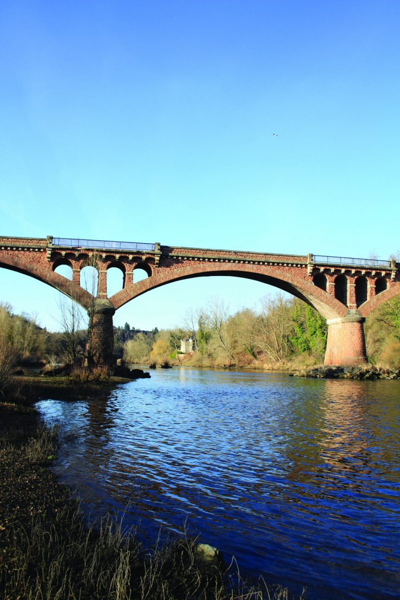
Crossing the Loire has always been a problem ... Between the Presle bridge in Bully and the Commelle-Vernay bridge, the Villerest dam connects the two banks of the Loire gorges.

Itinerary to find in the topographical guide:
Topoguide Walk in the Roannais.

Your itinerary

Map List

1 - Departure

From the beach, go up rue des frères Montgolfier.

2 - Step 1

At the crossroads, cross and turn right onto the path overlooking the D18. Turn left and go up towards the village. Turn right into Chemin des Pierres to arrive at Place de Verdun.

3 - Step 2

Cross the square and turn left rue de Montagny until the place du Gand'Hui. Go up the Grand Rue, the rue de Bise and the rue du Clos.

4 - Step 3

Turn right into Chemin de Malentras then right again into the little Chemin de Malentras. Go straight down the steep slope. Cross the bridge road twice and turn left on the path to the towpath.

5 - Step 4

Turn right and follow the towpath to the end (go under the bridge). At the bottom of the dam, go up the path.

6 - Step 5

Cross in the direction of the camper van area and immediately follow the Grézelon footpath to the left which runs along the Loire.