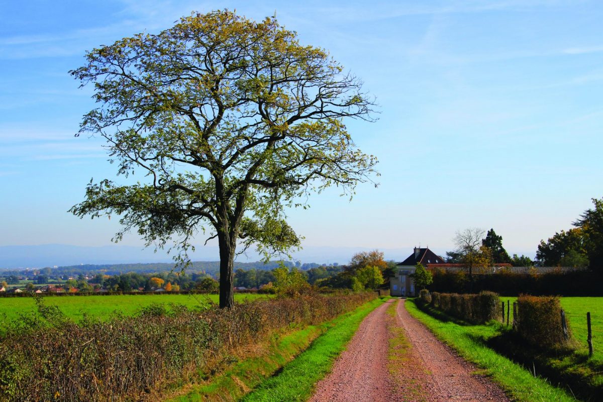
On the land of the Grenouillards (nickname given to the inhabitants of Ouches), this route is a link between the plain and the hillsides.

Itinerary to find in the topographical guide:
Topoguide hikes and discoveries in the Roannais

Your itinerary

Map List

1 - Departure

Take the road to Villerest in front of the town hall. Take the 2nd road on the right (chemin des Pérelles).

2 - Step 1

Cut the D18 and take the dirt track opposite. Cut a road to Les Millets then walk along the vines and find the road at Pierre à Bois.

3 - Step 2

Cross the D8, then take the 1st road on the right extended by a grass track.

4 - Step 3

At La Rochette, go up the road to the left towards the vines. Higher up, turn right and climb the path that leads to La Croix des Lièvres.

5 - Step 4

At the top, turn right and go down the path in the pines.

6 - Step 5

In front of a brick dovecote, take the tarmac road on the right and go up to La Rochette.

7 - Step 6

At the crossroads, go down the road to the left. Cross the D8 then find a path. Further down, return to Ouches via the Chemin du Mont. Take the D18 on the left for a few hundred meters to find your starting point.