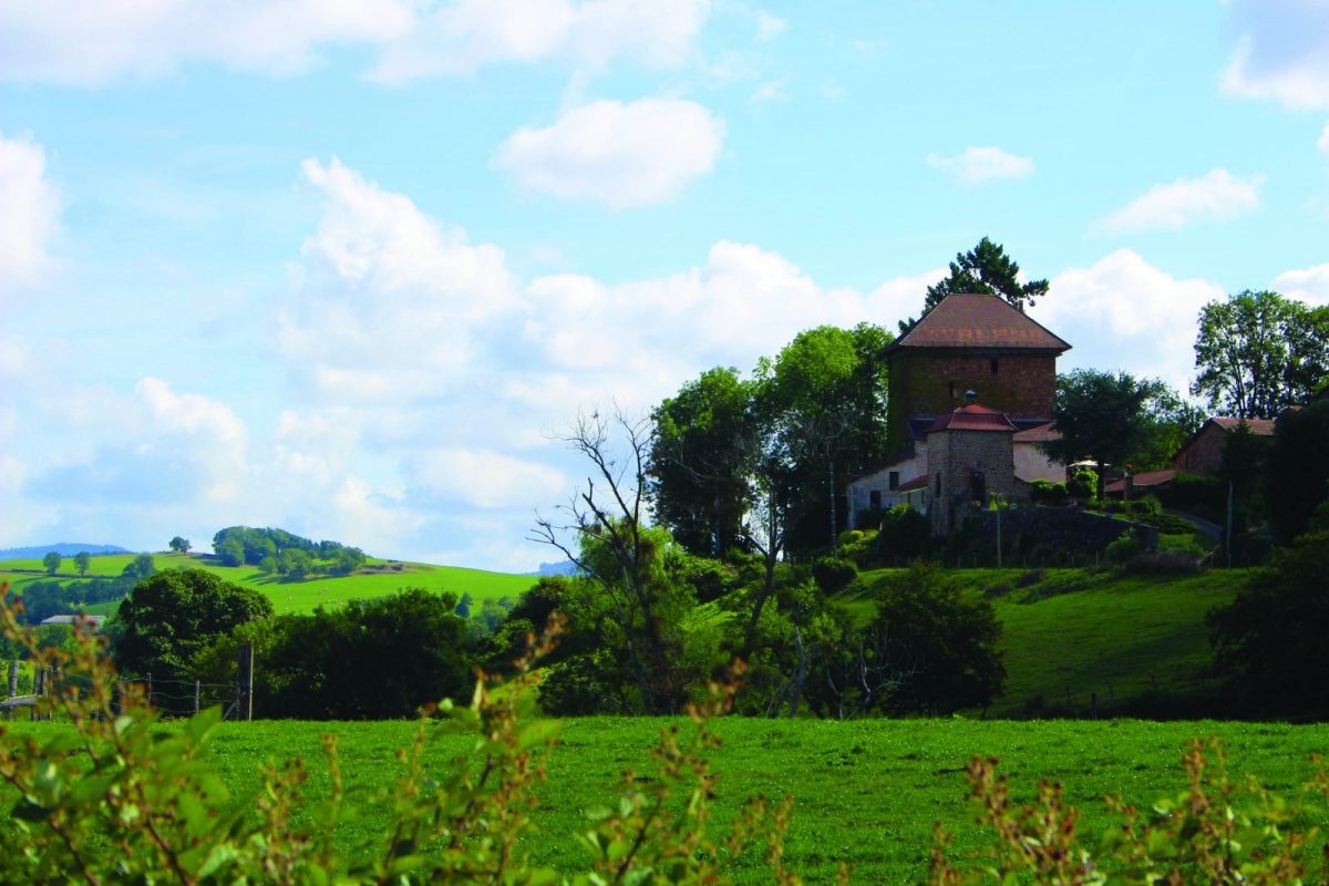
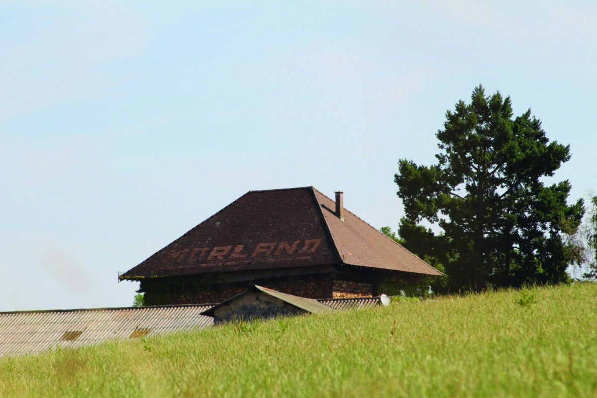
From the top of Morland (and its tower), enjoy the view of Coutouvre, the Roanne plain and the Madeleine mountains opposite.

Itinerary to find in the topographical guide:
Topoguide Hiking in the Roannais.

Your itinerary

Map List

1 - Departure

Go around the church on the left and go down along the cemetery. Go up to Creux de sable.

2 - Step 1

Turn right onto the road then after 200 m, go down a dirt track to the left. Further down, turn right then walk along and cross the Tesche. Go up to Favery.

3 - Step 2

Near a house, find a grassy path and go down to the road. Turn left and follow the tarmac to the Pendants.

4 - Step 3

Go down the path to the right, take the road to the left then take a path to the right as far as Morland.

5 - Step 4

Take the D31 on the right for a few meters then take the path on the left. Pass the farm and go down. Find the road then turn right towards Le Plat.

6 - Step 5

Take the path on the right before the farm and continue to the Château de la Varenne.

7 - Step 6

Cross the farmyard, then go up. Take the path on the right and cross the D31. Follow the path to the cave. Fork to the left and go up to the village of Coutouvre to find your starting point.