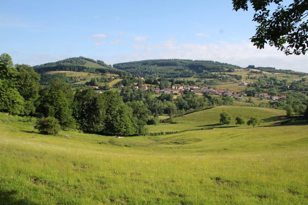
The Teyssonne, a wild river with a reputation for fish, has carved out the valley that shelters Saint-Bonnet-des-Quarts and ends in Changy.

Itinerary to find in the topographical guide:
Topoguide walks and discoveries in the Roannais

Your itinerary

Map List

1 - Departure

At the crossroads in front of the church, go down the road that leads to the town hall. Further on, turn right and dive down to the Teyssonne.

2 - Step 1

Cross the bridge, and immediately turn left onto the path. Slant to the right shortly after.

3 - Step 2

At the top of the path, turn right.

4 - Step 3

At the fork, continue straight on the main path for about 2 km.

5 - Step 4

Fork sharply to the right and join the Teyssonne. Turn left and take the footbridge. Climb to the hamlet of Verger.

6 - Step 5

At the first houses, turn right and take the road. Join the D41, follow it to the right for 200 m. Go up the left path. Always continue straight at each intersection.

7 - Step 6

At the crossroads, go down to the right. Cross the D41 at the Garnat cross.

8 - Step 7

At La Garde, cross the bridge and turn right towards the village.