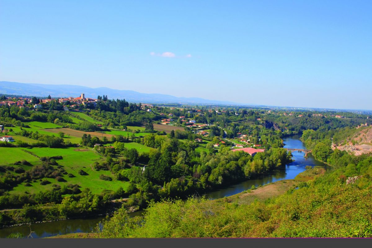
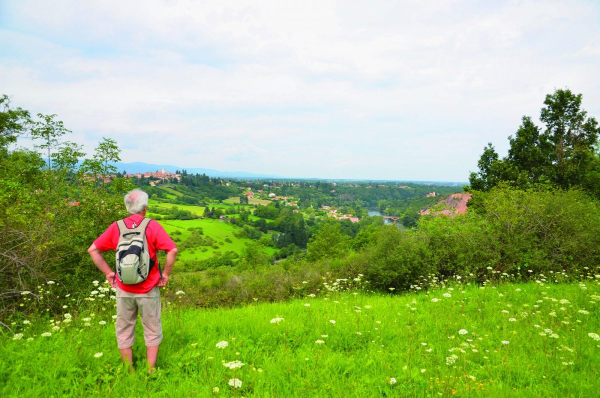
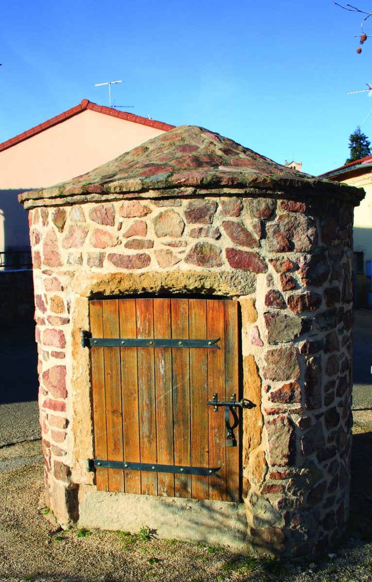
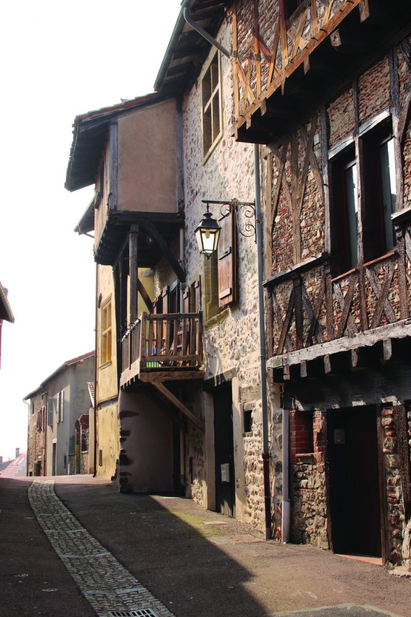
Through the green countryside of the town to discover its rural heritage (well and cross ...), historical and cultural.

Itinerary to find in the topographical guide:
Topoguide Walk in the Roannais.

Your itinerary

Map List

1 - Departure

Go down the Grande Rue to the place de Gand'Huy (you meet the first wells of the circuit). Cross and take rue de Montagny.

2 - Step 1

Turn right and cross Place de Verdun. Follow the rue des Pierres, then take the path on the left.

3 - Step 2

Follow the D18 at the top of the slope (route de Seigne). Cross the D18 and follow the rue des Frères Montgolfiers which goes down to the beach. Cross the parking lot and start taking the footpath that runs along the lake.

4 - Step 3

Go up towards a building and take the Chemin des Rambertes. At the crossroads, turn left into Chemin du Perron.

5 - Step 4

At the level of the houses, take the small grass path which goes up on the right. On Moreau road, turn left, then at the next crossroads to the right. Cross the D18 and continue straight until Champlong.

6 - Step 5

Take the path on the left. Walk along the golf course, pass the tennis courts and turn left.

7 - Step 6

Turn right onto Chemin Napoléon. Cross the road to Champlong and continue straight on the path. Cut the path to Valor.

8 - Step 7

Turn right at the next crossroads onto Chemin Beauregard. Cross the route de la Mirandole and join the alley opposite.

9 - Step 8

Take the rue du Clos which goes up to the village of Villerest via the Porte de Bise (entrance to the medieval city dating from the XNUMXth century). Join the place Jules Rabourdin and find your starting point.

On the course