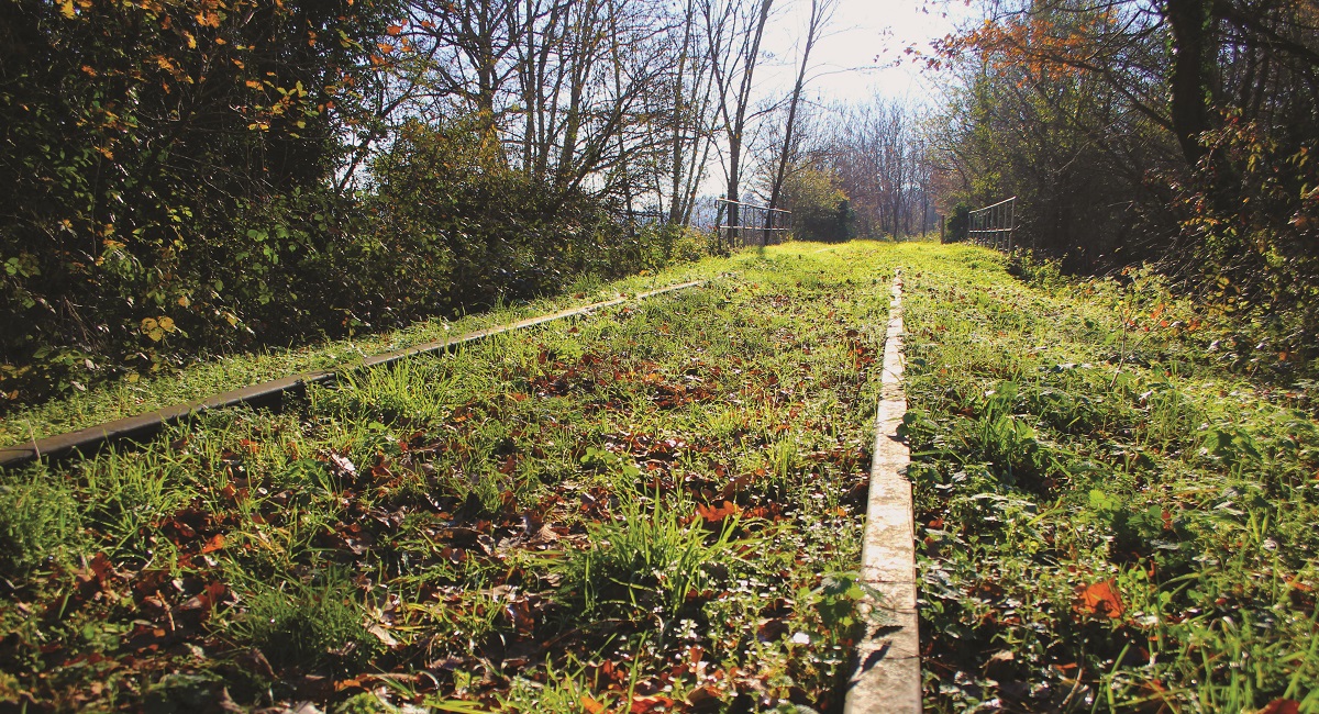
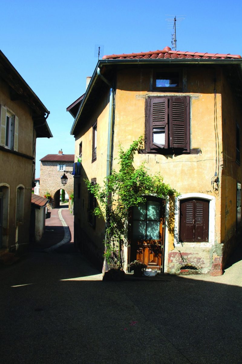
Bordered by many streams (Trambouzan, Rhodon, ...), the town of Perreux has been turned since the Middle Ages towards the Loire river.

Itinerary to find in the topographical guide:
Topoguide Hiking in the Roannais.

Your itinerary

Map List

1 - Departure

From Place de Verdun, towards the church, go down towards the D31. Cross it and take the path opposite. When you get to the road, turn right.

2 - Step 1

Join the bridge of the old railway line, go up the stairs, follow the railway line until you reach a parallel path on your right. Go up to Quillonnet.

3 - Step 2

Turn right to join the D17. Cross the road and join a path. Cross the Merderet stream and find a road on the left.

4 - Step 3

At the crossroads of Cresses, take the path down to the hamlet of La Garde. Take a left to cut across the field. Once you have crossed the river, go up and take the road to the right.

5 - Step 4

Higher, take the path starting slightly on your right. Join the D31 on this path.

6 - Step 5

Go up on the left towards Coutouvre. Follow the D31 for 600m. Take a path on the right towards the Château des Parrats. At the first crossroads, take the path on your left.

7 - Step 6

At the first intersection, leave a path on your left and go down to Rochefort. Cross the footbridge and go up towards Le Devant. Cross the road and take the path opposite.

8 - Step 7

At the crossroads, take the road on your right then take the road on your left. Take a narrow path starting to the right, then turn left to reach the retirement home.

9 - Step 8

Go around the retirement home on the left and go down towards the Perreux sports hall, keeping this road. Continue down towards the village and turn right at the private school. Continue on the road to return to your starting point.